
Our Services
End-to-end surveying services backed by modern equipment and a licensed engineering team.
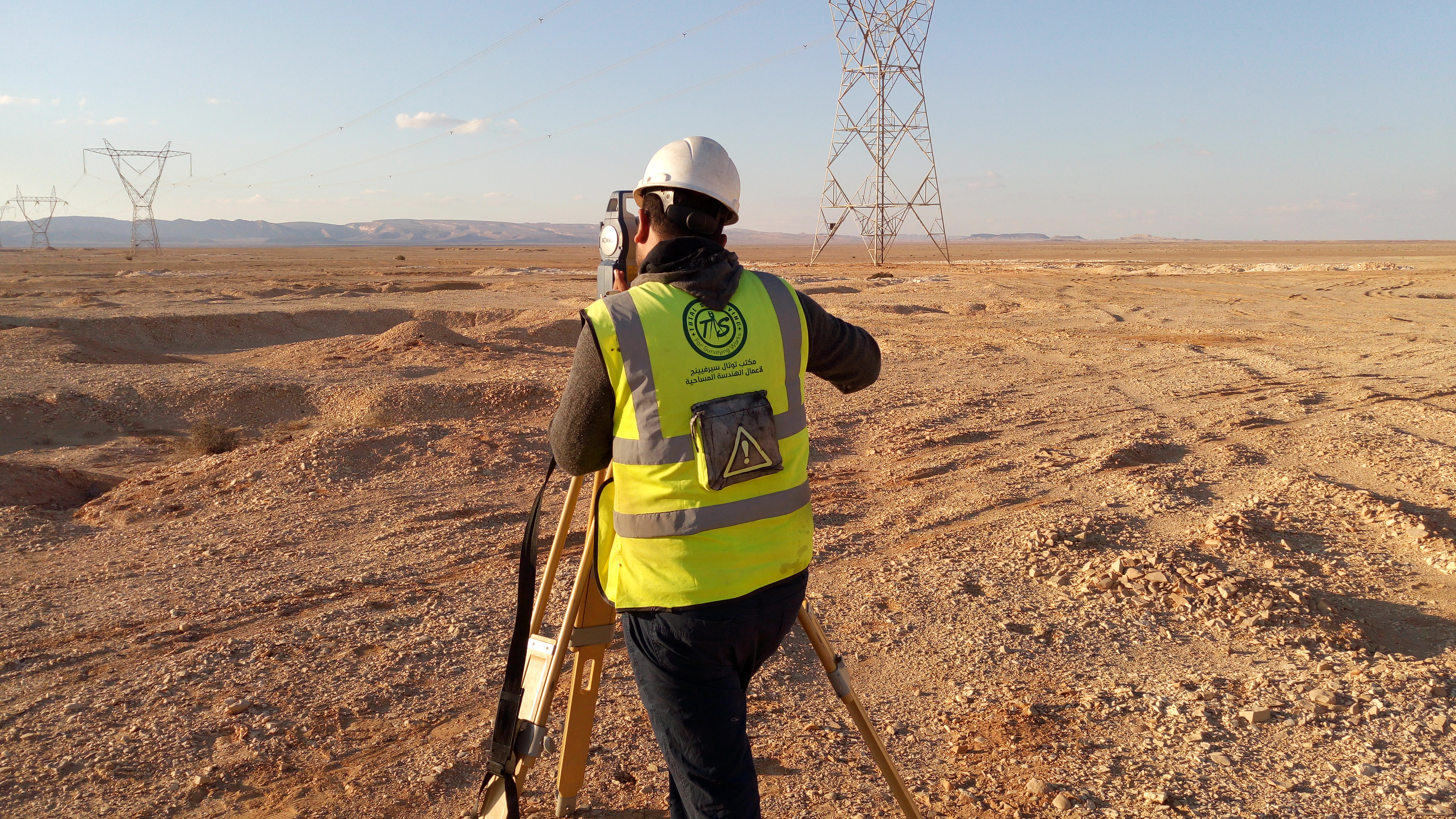
Topographic Survey
Topographic surveying to capture ground elevations and site features and provide the data and maps required for design and construction
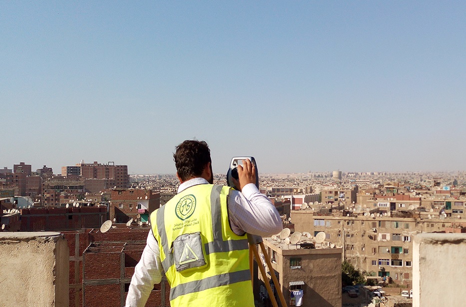
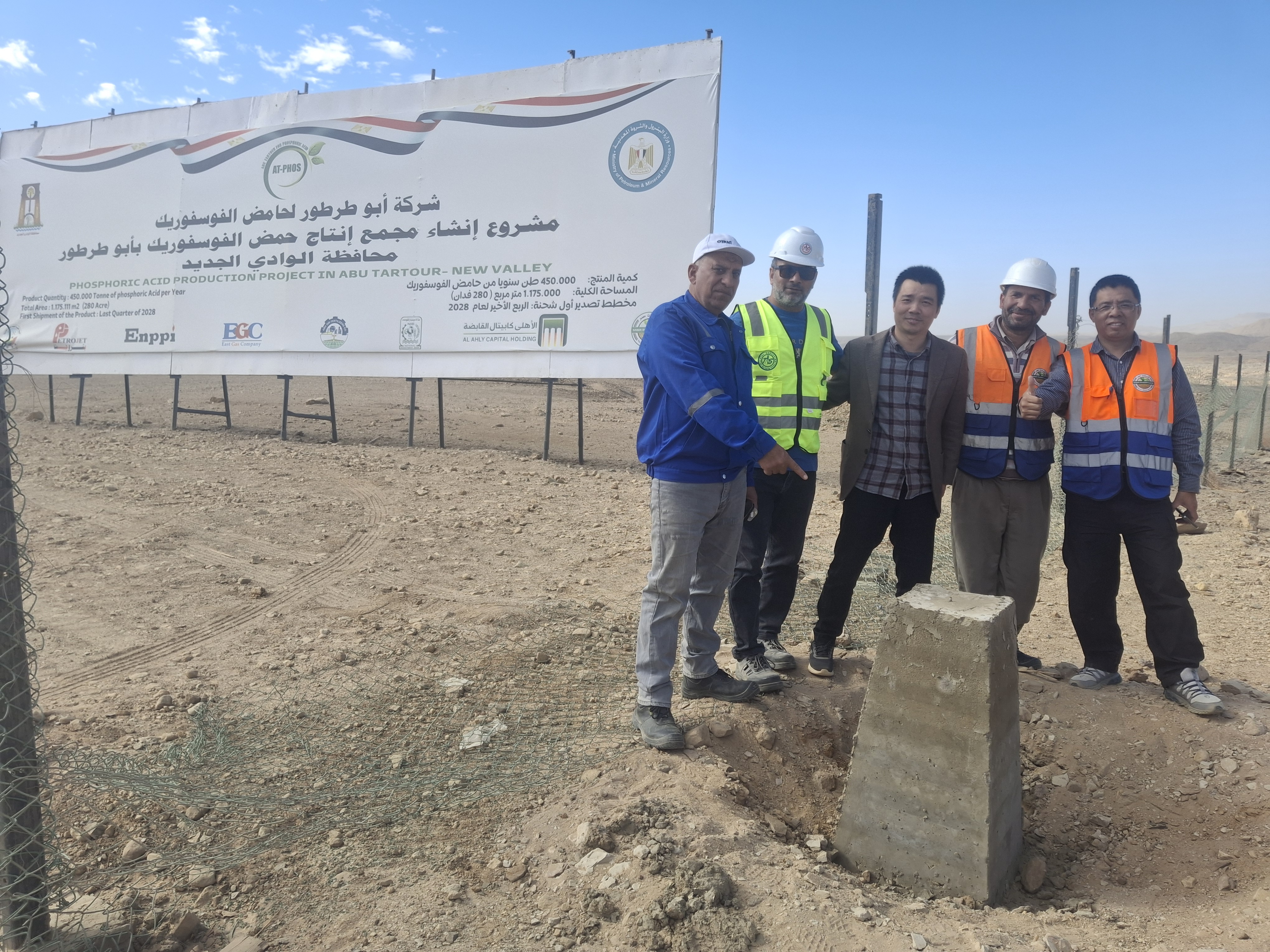
Survey Control Networks
Accurate control networks and horizontal and vertical survey control points using GNSS and Total Stations for projects of all sizes
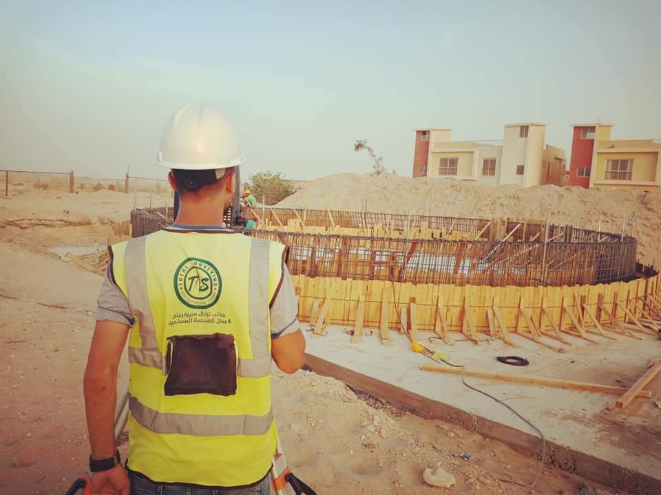
Setting Out
Accurate execution of surveying setting-out works, transferring axes, elevations, and design locations to the field in accordance with approved drawings

Earthwork Quantity Surveying and Cut & Fill Volume Calculations
Earthwork volume calculations for cut/fill and stockpile management.
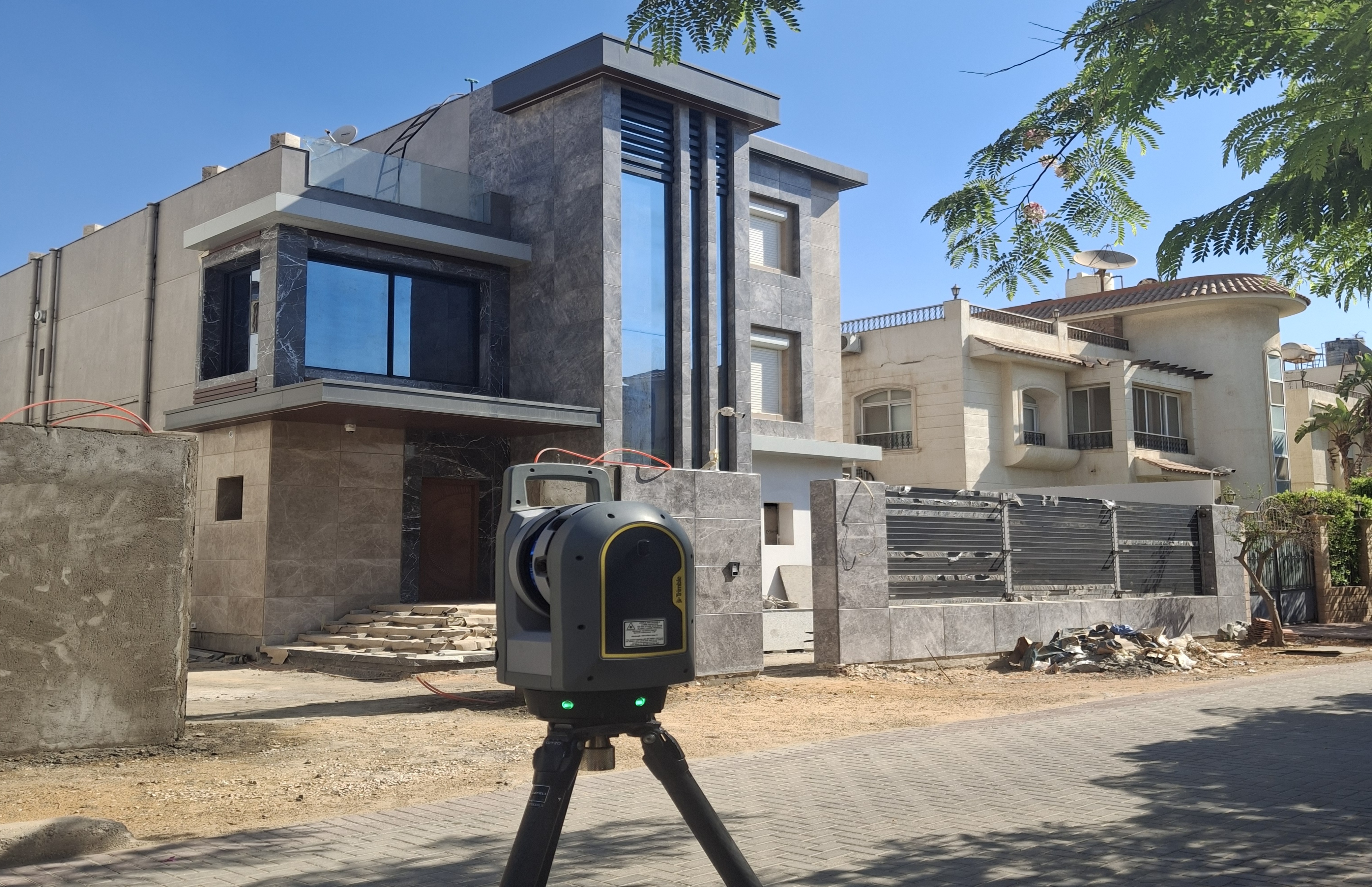
3D Laser Scanning Survey
Professional 3D laser scanning surveys for accurate point clouds, 3D models and detailed spatial data for buildings, facilities and sites
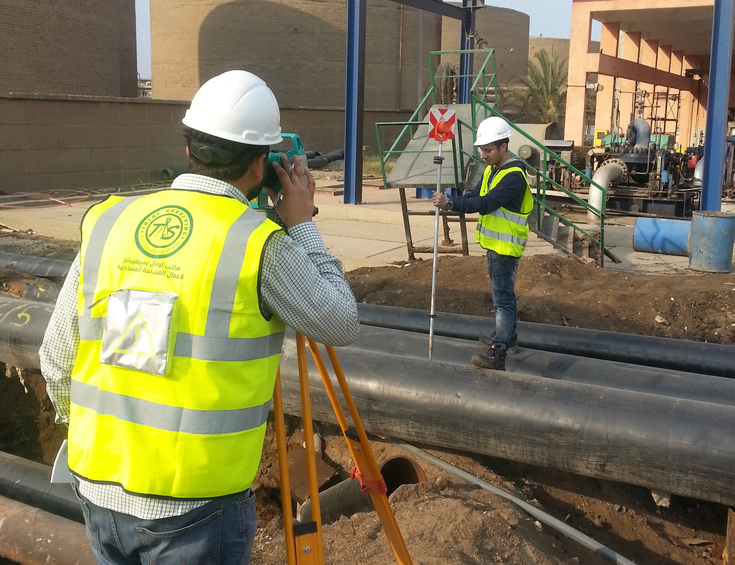
As-Built Survey
Construction surveying services for accurately transferring coordinates, elevations, axes and design elements to the site in accordance with approved drawings and designs
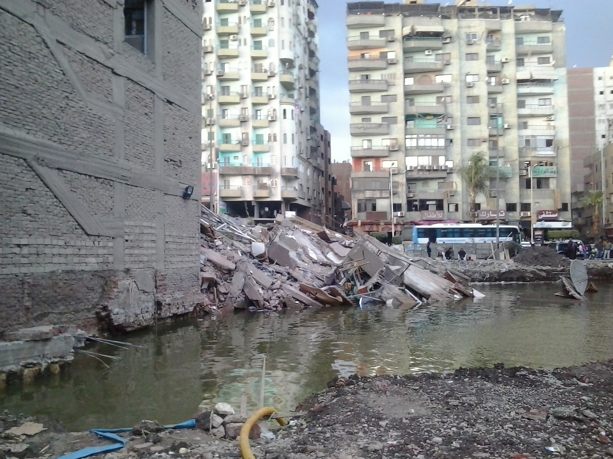
Surveying Monitoring and Deformation Monitoring
Accurate surveying monitoring services for detecting movements, deformations and changes in the position and elevation of structures and engineering facilities during construction and operation
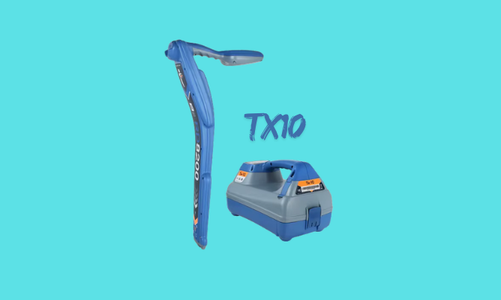
Underground Utilities Survey
Underground utilities surveying to detect and locate buried utility networks, lines and services and determine their routes and depths using specialized technologies and equipment, including the TX-10
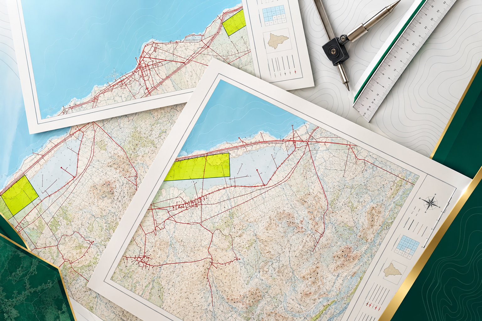
Mapping for Documentation and Legalization Purposes
Preparation of accurate surveying maps to document the existing conditions of sites, properties and structures and support legalization procedures and the documentation and verification of available records and drawings