
Latest Blog Posts
News, tips and updates from the surveying field.

How Survey Maps Help Investors Make the Right Investment Decisions
Discover how survey maps help investors select land, estimate site preparation costs, assess potential risks, and support real estate and construction planning.
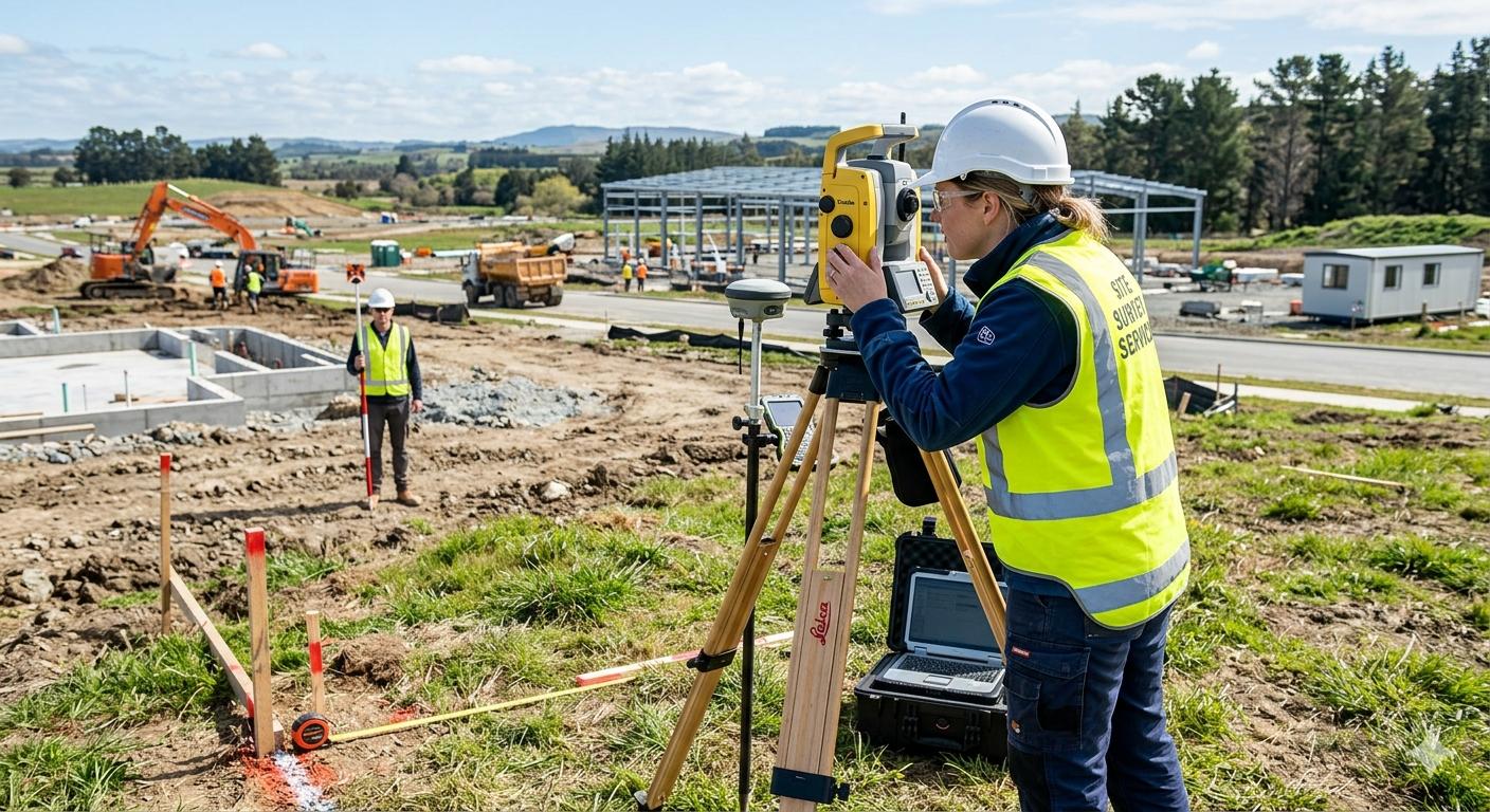
Detailed Survey vs. Grid Leveling: Key Differences
Learn the difference between detailed surveying and grid leveling, including their methods, equipment, applications, and roles in site planning and earthworks calculations.
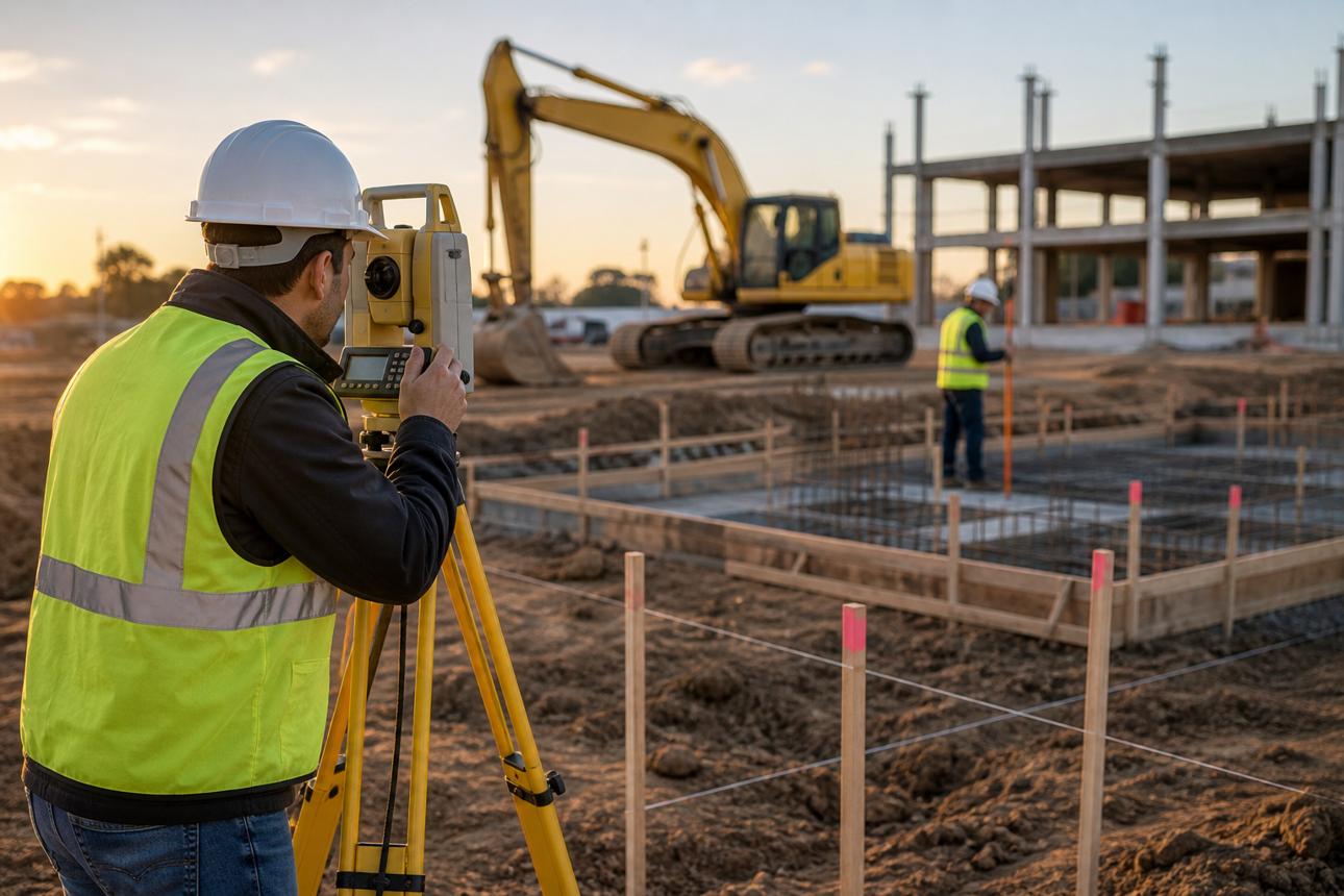
importance of setting out in construction projects
Discover the importance of survey setting out in construction projects, including its role in establishing axes and elevations, reducing construction errors and costs, and understanding key equipment and procedures.
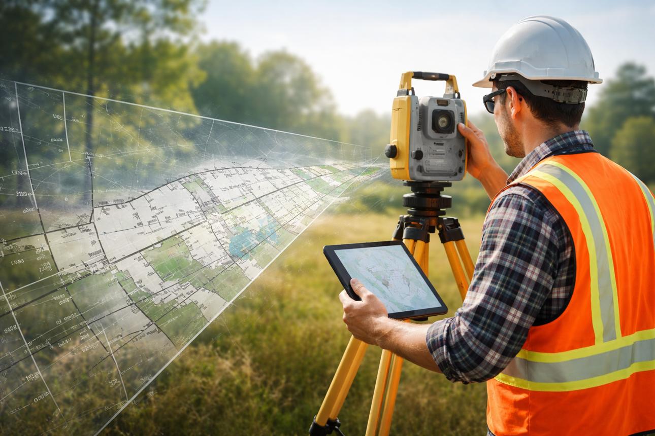
What is a land survey, and why do you need one for your project?
Land surveying is a fundamental stage upon which engineering and urban development projects rely. It provides the precise data necessary to understand the nature of a site before design or construction begins. By measuring coordinates and elevations, defining land boundaries, and identifying existin

The Role of Surveying in Urban Planning in Egypt
Discover the role of surveying in urban planning in Egypt, from providing accurate topographic data, coordinates, and elevations to preparing maps and supporting the planning of cities, roads, and infrastructure

The Latest Equipment Used in Engineering Surveying
Discover the latest engineering surveying equipment, including Total Stations, GPS/GNSS, laser scanners, LiDAR, surveying drones, and digital levels, and how they improve surveying accuracy and efficiency in engineering projects