
Surveying Using Drones in Egypt
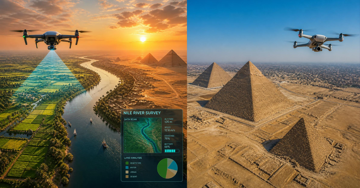
Modern Surveying Technologies
Surveying Using Drones in Egypt
How drones have become one of the modern technologies transforming surveying and mapping works and providing high speed and efficiency in executing engineering projects.

Drone Surveying
The development of surveying data collection and mapping technologies
In recent years, drones have become one of the most important modern tools used in surveying and mapping works, as this technology has contributed to developing spatial data collection methods and increasing the speed of surveying operations across many types of projects.
This technology is characterized by its ability to cover large areas within short periods of time, while providing the capability to produce aerial imagery, three-dimensional data, and digital models that help engineers, designers, and project owners understand the site in a more comprehensive manner.
The importance of these applications is increasing with the urban expansion and major national projects taking place in Egypt, such as new cities, industrial areas, road projects, and infrastructure projects, which require large amounts of surveying data during different stages of the project.
How Does Drone Surveying Technology Work?
From aerial imaging to producing engineering data
Aerial Data Collection
The drone is equipped with high-resolution cameras or specialized sensors, and then a flight is carried out to cover the required survey area according to a pre-planned flight path.
Imaging and Data Processing
A series of overlapping aerial images are captured and then combined and processed using specialized software to produce accurate spatial data representing the site.
Maps and Models Production
The resulting data can be converted into corrected aerial imagery, maps, digital terrain models, point clouds, and three-dimensional data according to the nature of the project.
Engineering Use of Data
The results can be used in planning, design, engineering calculations, and construction monitoring, with the ability to prepare the data for specialized engineering software.
Advantages of Using Drones in Surveying Works
Greater speed, wider coverage, and advanced data collection capabilities
↗
Rapid Coverage of Large Areas
A drone can cover large areas within a short period of time, compared with traditional methods that may require more time to carry out field surveying operations.
◎
High Accuracy of Results
Appropriate aerial imaging systems can provide high spatial resolution data, and some applications can reach centimeter-level accuracy depending on the project equipment and execution methodology.
⌁
Access to Difficult Areas
Drones help collect data from mountainous, rugged, or difficult-to-access areas, reducing the exposure of field teams to potential risks.
◇
Production of Three-Dimensional Maps
Aerial data enables the creation of three-dimensional models and realistic site imagery that help in studying projects and understanding their existing conditions more clearly.
↓
Saving Time and Cost
Reducing data collection time and enabling rapid coverage of sites can contribute to lowering the cost of some projects, particularly when dealing with large areas.
Applications of Drones in the Egyptian Market
Multiple applications in engineering and urban development projects
National Projects
They can be used in road projects, new cities, and industrial areas to monitor construction stages, document site conditions, and detect changes occurring on the ground.
Real Estate Projects
Aerial imagery and three-dimensional models provide an effective way to present sites and projects realistically while supporting presentation, planning, and monitoring activities.
Smart Agriculture
Aerial imaging can be used to monitor agricultural areas, prepare crop maps, analyze land conditions, and support precision agriculture applications.
Archaeology and Heritage
Aerial imaging and three-dimensional modeling technologies help document archaeological and heritage sites accurately, while reducing the need for direct intervention during certain stages of documentation.
Challenges in Egypt
Factors that should be considered before conducting aerial surveying works
!
Laws and Permits
Operating drones in Egypt is subject to regulatory requirements, approvals, and permits according to the applicable laws and competent authorities. Therefore, the regulatory requirements must be verified before conducting any aerial operations.
◉
Equipment and Setup Costs
Although significant time and cost savings can be achieved on large projects, purchasing drones, imaging equipment, processing systems, and specialized software represents an investment that requires careful consideration.
✓
Need for Specialized Professionals
Obtaining reliable engineering results does not depend on the drone alone. It requires specialists who are capable of planning flights, collecting and processing data, analyzing the results, and conducting engineering quality reviews.
Drones Have Become Part of the Modern Surveying System
The importance of drones is not limited to aerial imaging alone. They have become an advanced means of collecting spatial data and producing maps and digital models that can be integrated with traditional surveying works and other engineering data.
The value of this technology increases when it is used as part of an integrated surveying methodology that includes proper planning of the survey, linking the data to control points and coordinate systems, processing the results, and conducting engineering reviews before using them for design or decision-making.
Do You Need Surveying Works Using Drones?
This service is currently not available at Total Surveying Office, but the site conditions and project requirements can be studied to determine the most appropriate data collection technologies and required deliverables according to the nature of the work.
Comments (0)
Be the first to comment on this article.