
What is a land survey, and why do you need one for your project?
Surveying Articles & Expertise
Land Surveying: The First Step Toward Successful Engineering Projects
Land surveying is one of the most important stages in engineering and urban development projects, providing the accurate data needed to understand site conditions before design and construction begin.
What Is Land Surveying?
A systematic process of field measurements and computations to determine positions and elevations
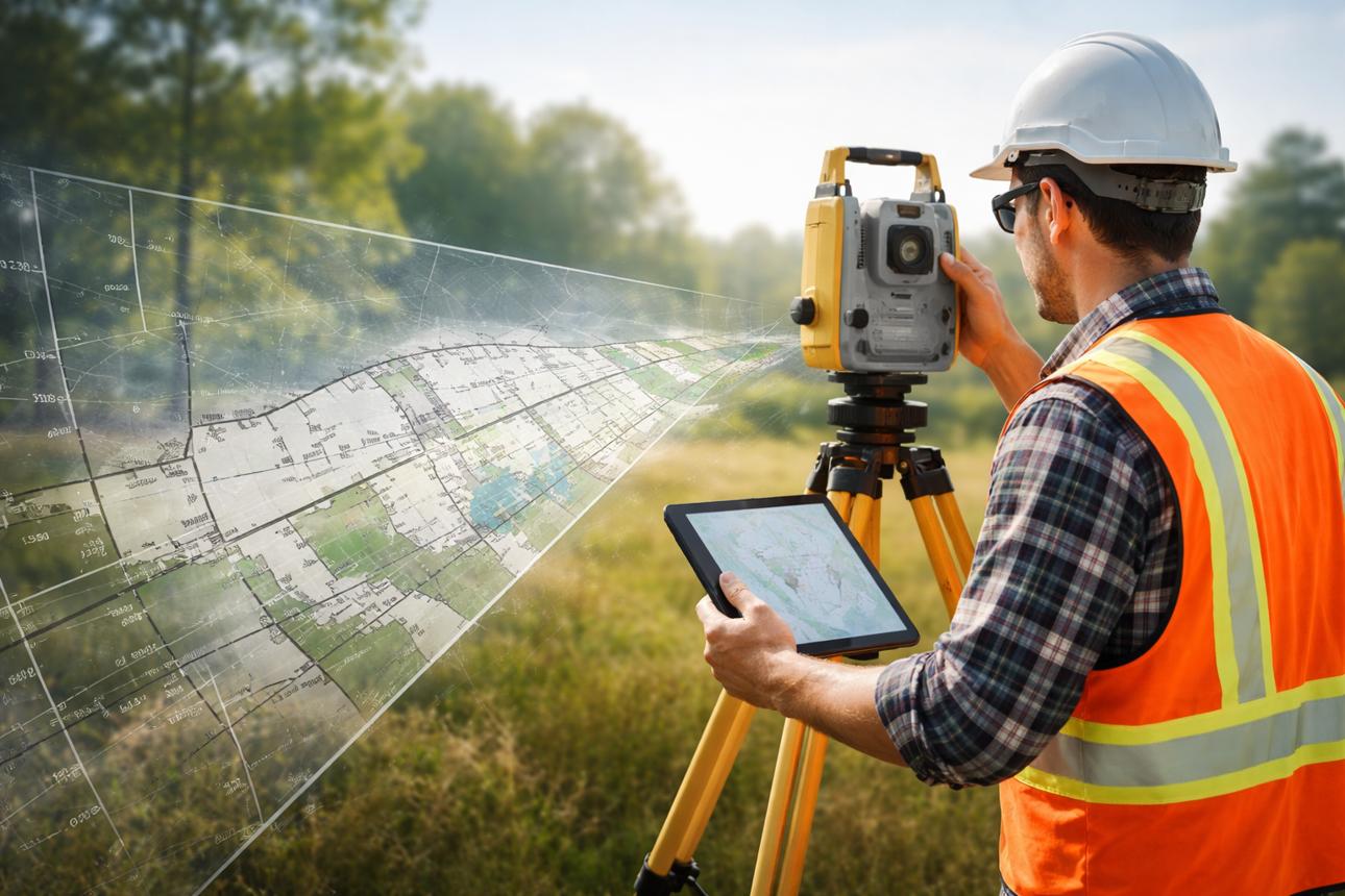
Land surveying is the process of measuring and determining the positions, coordinates, elevations, dimensions, and features of points on or near the Earth's surface. The collected data is then processed and presented as maps, drawings, or digital models that support engineering and construction activities.
Land surveying involves much more than measuring distances or identifying property boundaries. It can include analyzing terrain, determining ground elevations, locating existing buildings and roads, documenting utilities, and developing accurate spatial datasets for planning and design.
The type of survey required depends on the project's objectives, site conditions, and accuracy requirements. Common applications include detailed site surveys, topographic surveys, and surveys of existing structures and infrastructure.
The Importance of Land Surveying in Engineering Projects
The structural foundation for reliable engineering decisions and error reduction
01
Providing Accurate Site Information
Land surveying identifies property boundaries, dimensions, coordinates, and elevations while documenting existing natural and man-made features to give a clear site understanding.
02
Supporting Engineering Design
Engineers rely on survey maps and measurements when designing buildings, roads, drainage systems, and utility networks, ensuring terrain and constraints are accounted for.
03
Reducing Construction Errors and Costs
Reliable survey data helps identify conflicts early, supports earthwork calculations, and prevents costly rework and project delays.
04
Supporting Urban Planning
Surveying provides spatial information for land-use planning, road alignment, and infrastructure distribution across new urban and industrial communities.
05
Monitoring Construction Progress
Surveying continues throughout construction via repeated measurements and as-built surveys to verify elevations, dimensions, and completed structures.
Types of Land Surveys and Their Applications
Diverse surveying methodologies matched to specific project objectives

Topographic Survey
Identifies ground elevations, terrain features, slopes, and existing elements through contour lines and spot elevations for site planning and road design.

Detail Survey
Focuses on collecting precise information about existing site elements like buildings, fences, and roads to represent current conditions.

Grid Survey
Divides a site into a regular network of points to analyze ground levels and calculate cut-and-fill earthwork quantities.

Architectural and Structural Survey 5
Documents building dimensions and positions to support renovation, restoration, extensions, and facility management.

Aerial Survey
Utilizes aircraft or UAVs (drones) to collect imagery and generate orthomosaic maps, digital surface models, and 3D representations.
How Is a Land Survey Conducted?
A systematic workflow ensuring high precision and engineering reliability
Defining Requirements
Identifying project objectives, site area, required accuracy, expected deliverables, and reviewing existing site documentation.
Establishing Control Points
Setting reliable reference positions using an appropriate coordinate reference system to ensure consistency across the site.
Collecting Field Measurements
Gathering coordinates, elevations, and details using suitable surveying instruments chosen based on site traits.
Processing and Drawings
Transferring measurements to computers and utilizing specialized software to create terrain models and engineering drawings.
Quality Control & Deliverables
Verifying accuracy, checking coordinate consistency, and preparing CAD files, maps, and technical reports.
Essential Equipment Used in Land Surveying
Modern instruments designed to elevate field data collection speed and precision

Total Station
Measures horizontal and vertical angles and distances to determine precise point coordinates for construction and detail surveys.

GNSS Equipment
Leverages satellite navigation signals to establish control points and survey extensive areas quickly.

Surveying Levels
Optical and digital devices essential for leveling operations, foundation preparation, and road elevation measurements.

3D Laser Scanner
Gathers massive point clouds representing surfaces and geometry for industrial facilities and structural documentation.

Surveying Drones
Equipped with sensors to capture aerial imagery over large areas for photogrammetric mapping and 3D modeling.
The Role of Engineering Software in Survey Data Processing
Converting raw field data into organized, actionable engineering insights
A
AutoCAD
Used to prepare survey drawings and represent points, boundaries, dimensions, and site features.
C
Autodesk Civil 3D
Supports digital terrain modeling, contour generation, road design, and earthwork calculations.
G
GIS Software
Organizes spatial datasets, connects geographic attributes, and performs comprehensive spatial analyses.
Factors Affecting Land Survey Accuracy
Critical technical and field considerations governing survey reliability
!
Instrument Calibration
Instruments must be suitable for required precisions and properly checked before operation.
👷
Surveyor Experience
Skilled personnel select proper methods, anticipate problems, and catch measurement errors.
🔗
Control Systems 5
Surveys must utilize appropriate reference systems and consistent control data.
🌤️
Field Conditions
Obstructions, poor visibility, atmospheric conditions, and satellite interference can impact measurements.
Conclusion
Land surveying is a fundamental part of successful engineering projects because it provides accurate information about site boundaries, terrain, elevations, and existing features. This information supports engineering design, site planning, earthwork calculations, construction monitoring, and as-built documentation.
With continued advances in surveying instruments, engineering software, aerial mapping, and three-dimensional scanning, surveying professionals can collect increasingly detailed spatial data to support better engineering decisions.
Do You Need Land Surveying Services for Your Project?
Every project requires a clear understanding of its site conditions and data requirements before selecting appropriate surveying methods. Working with an experienced surveying team ensures deliverables meet all engineering and construction needs.
Comments (0)
Be the first to comment on this article.