
Survey Control Networks
Surveying Services
Survey Control Networks & Control Points
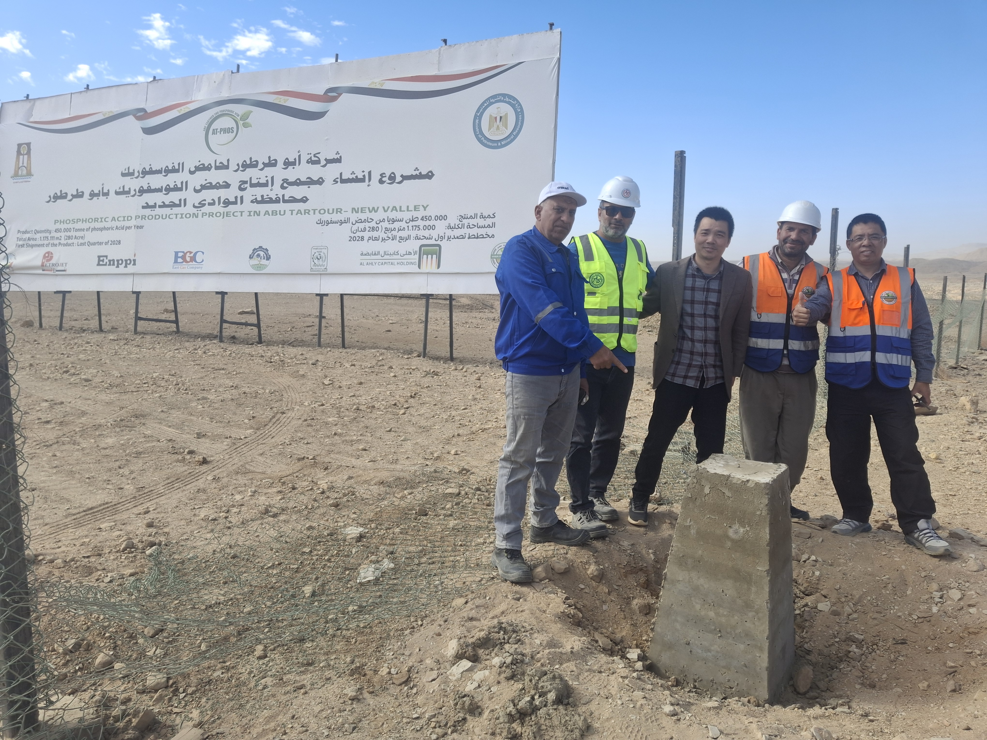
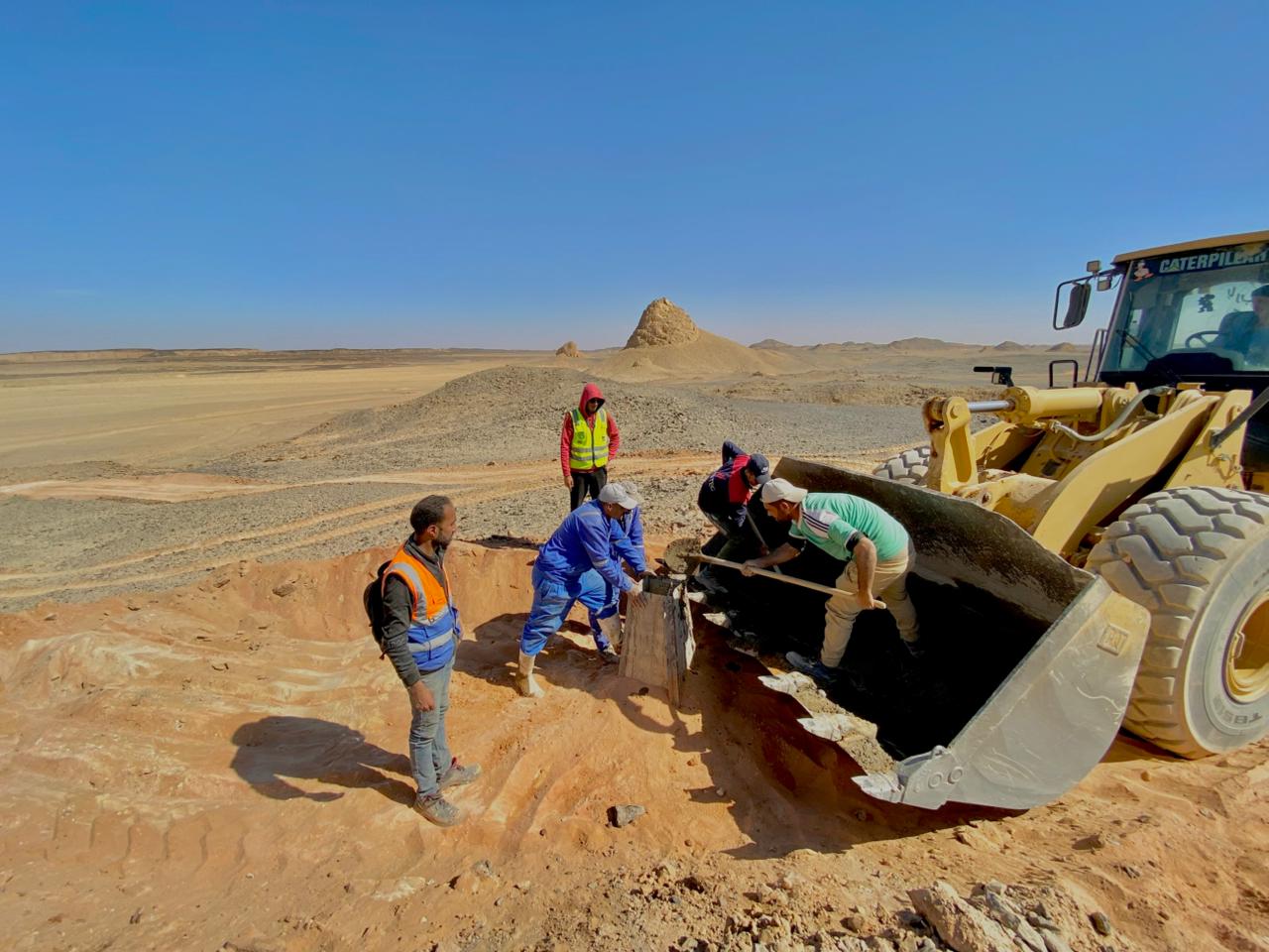
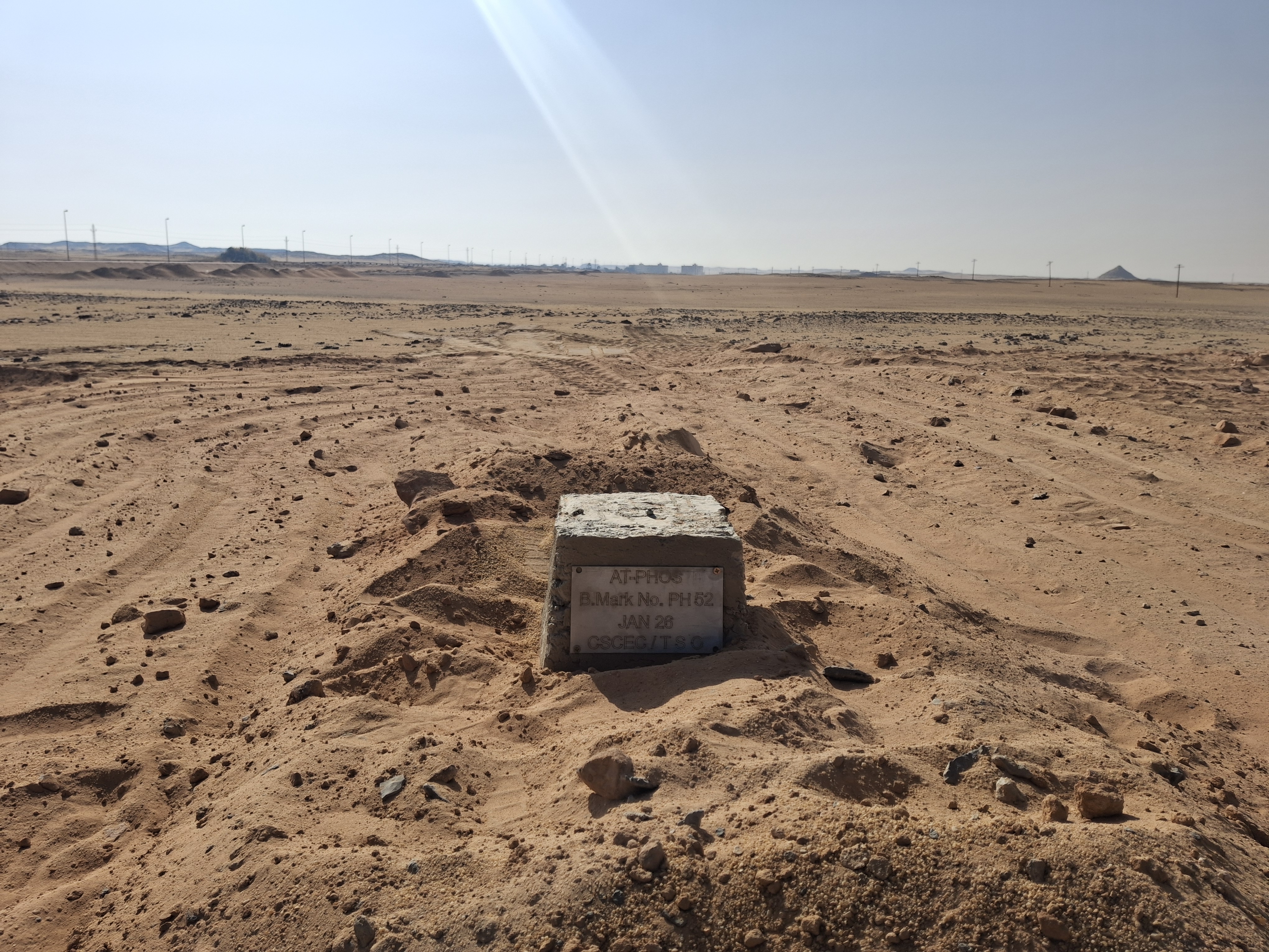
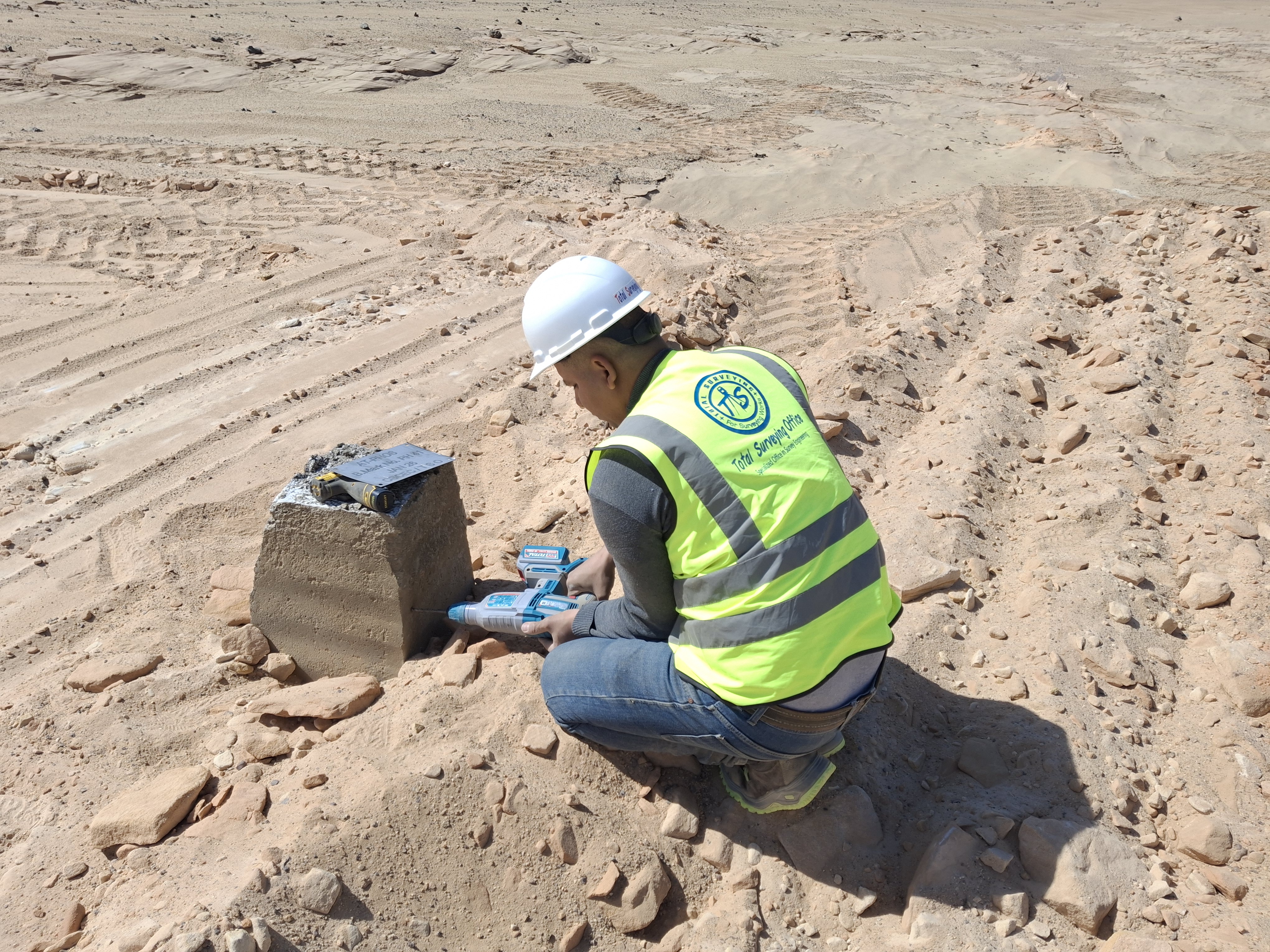
Establishment and monumentation of accurate horizontal and vertical survey control networks and reference points, providing a reliable surveying framework for topographic, design, construction, and setting-out works.
A Reliable Surveying Foundation
Establishing a consistent reference framework for surveying and engineering works
Survey control networks provide the reference framework required for surveying, construction, and setting-out activities. They consist of accurately established points with known coordinates and elevations that can be used throughout the different stages of a project.
Total Surveying Office provides horizontal and vertical control network establishment and survey control point services according to site conditions, project size, required accuracy, and the approved coordinate and elevation reference systems.
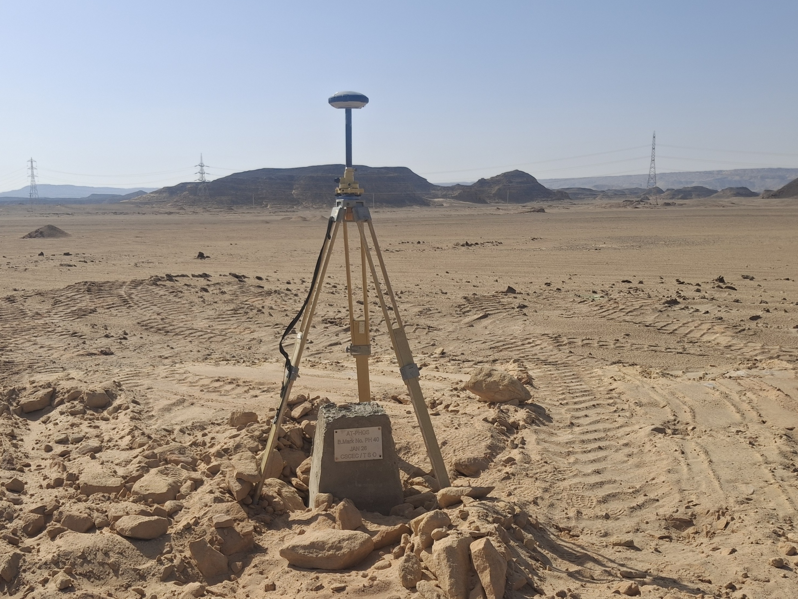
Control surveys are performed using appropriate surveying technologies and equipment, including GNSS / GPS, Total Stations, and Digital Levels, together with the necessary field observations and checks to verify point accuracy and network consistency.
Established control points can serve as the reference for topographic surveys, construction setting-out, axis and structure positioning, construction monitoring, and integration of surveying data within a consistent coordinate and vertical reference framework.
Survey Control Network Scope
Accurate reference points supporting a wide range of surveying and engineering activities
Horizontal Control Points
Establishment and monumentation of horizontal control points with known coordinates for surveying, setting-out, positioning, and site control activities.
Vertical Control Points
Establishment of elevation reference points and connection to the approved vertical datum to support leveling, elevation transfer, and construction control.
Point Monumentation & Protection
Selection and stabilization of suitable control point locations while considering accessibility, stability, visibility, and long-term usability.
Coordinate System Connection
Connecting the control network to the project's approved coordinate and elevation reference systems and preparing the required surveying reference data.
Execution Methodology
Organized steps for establishing an accurate, stable, and usable control network
Site & Project Requirements Review
Control Point Location Selection
Survey Observations & Measurements
Data Processing & Network Verification
Control Point Data Delivery
Survey Control Network Applications
A reliable surveying reference for different stages of project execution
▰
Buildings & Structures
Providing accurate reference points for construction axes, setting-out, structure positioning, and verification.
╱
Roads & Transportation
Establishing control points for surveying, design, setting-out, alignment, and elevation control.
⌁
Infrastructure
Supporting utility and infrastructure construction through a consistent surveying reference framework.
⚙
Industrial Projects
Establishing control networks for industrial facilities, large sites, and projects requiring precise survey control.
⌖
Topographic Surveys
Providing a consistent reference for topographic survey data, coordinates, and elevations throughout the site.
▱
Setting-Out & Construction
Using control points as references for axes, coordinates, elevations, positioning, and construction verification.
Project Deliverables
Control network data prepared in formats suitable for project requirements
Survey Control Points
Established and monumented control points according to project requirements and intended use.
Coordinate Schedules
Organized horizontal coordinate data for the established control points and surveying activities.
Elevation Data
Elevations and vertical control data for reference points according to project requirements.
Control Network Plan
A reference plan showing control point locations and the information required for network use throughout the project.
A Precise Reference for Project Works
A properly established survey control network provides a consistent coordinate and elevation reference across the project, helping reduce discrepancies between surveying, design, and construction activities and providing reliable points for setting-out, verification, and control.
Control points also allow different surveying activities to be integrated within a single reference framework, whether for construction, industrial, roads and infrastructure, or large-scale topographic projects.
Need a Survey Control Network for Your Project?
The Total Surveying Office team can review your site and project requirements and determine the appropriate control network, control points, and deliverables before fieldwork begins.
Need this service?
Request a free, no-obligation quote and our team will get back to you shortly.
Request a Quote