



Topographic Survey
Surveying Services
Topographic Survey
Accurate and comprehensive surveying of the existing ground surface, elevations, terrain, and site features, providing reliable surveying data to support engineering design, planning, and construction projects.
Accurate Data for Understanding Site Conditions
A reliable foundation for design, planning, and construction
Topographic surveying provides an accurate and comprehensive representation of existing site conditions by determining ground elevations, point coordinates, terrain features, slopes, and different natural and man-made features within the site. This provides a clear understanding of existing conditions before starting design or construction activities.
Topographic survey works involve collecting an integrated set of surveying data that accurately represents the ground surface, including ground points, elevations, contour lines, terrain variations, natural and man-made features, and existing elements that may affect the design or execution of the project.
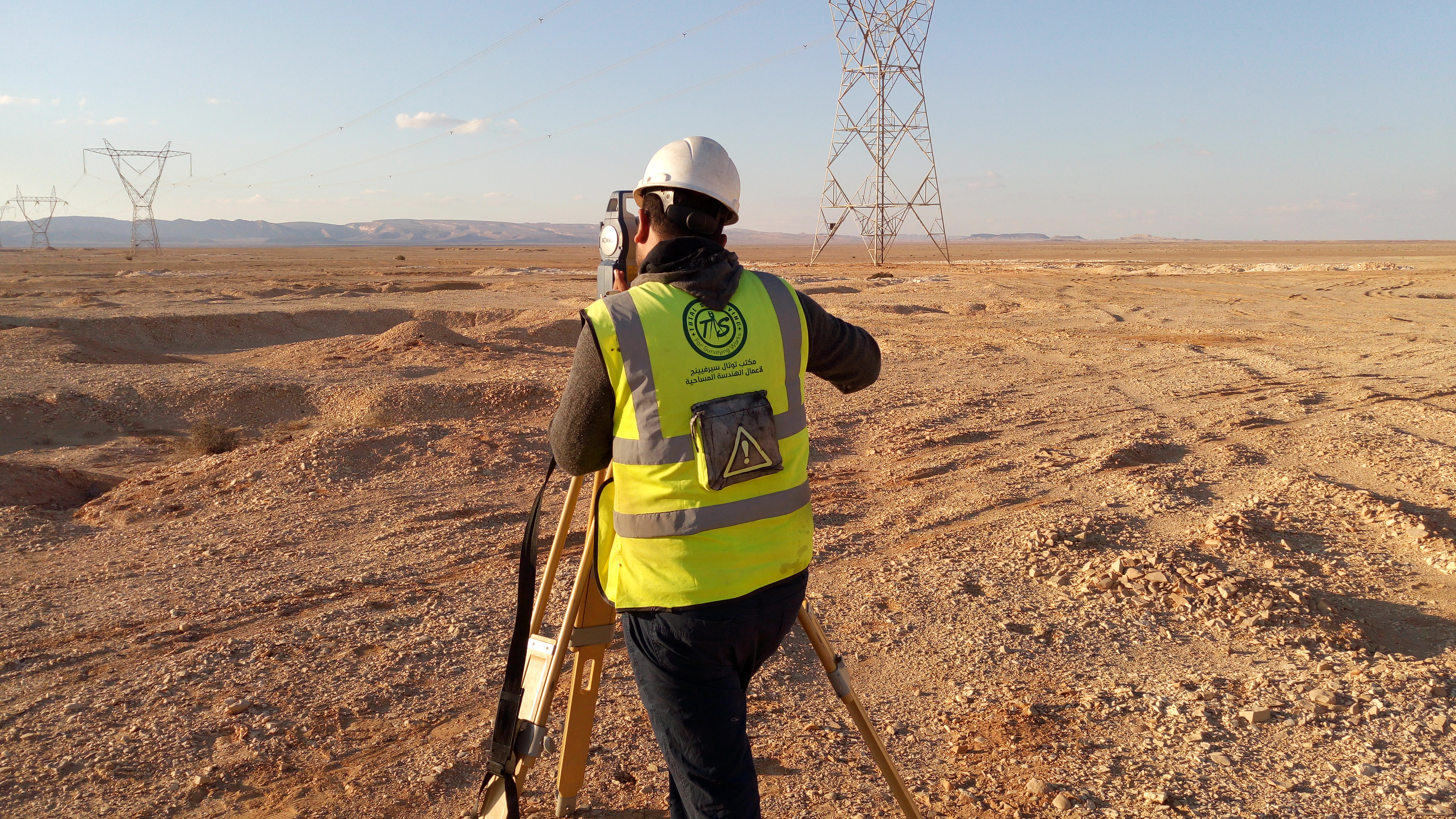
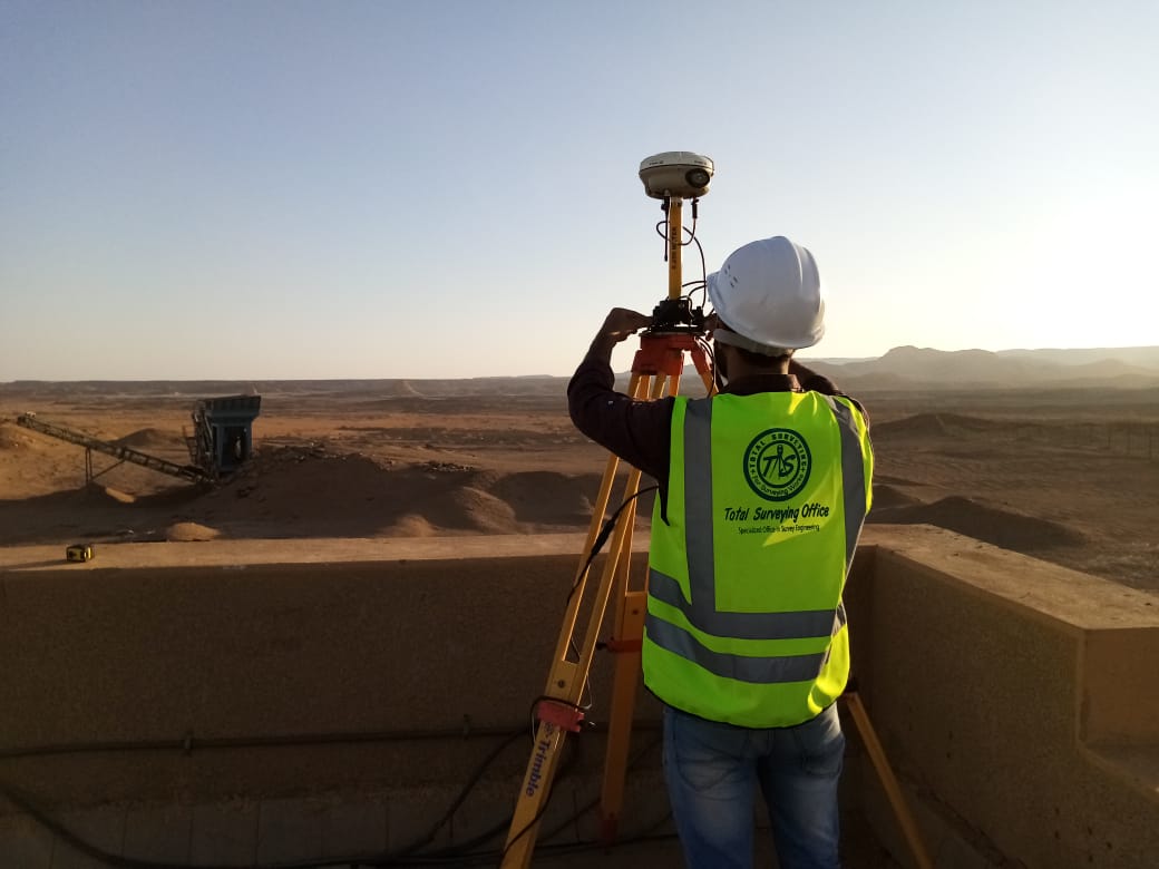
The surveying method and equipment are selected according to the nature and size of the site, project requirements, and the required level of accuracy. Total Station and GNSS / RTK equipment, together with modern surveying techniques, are used to collect field data and connect it to the approved coordinate and elevation reference system.
After completing the field survey, the collected data is processed, reviewed, and prepared as maps and surveying data suitable for direct use in engineering design, planning, and calculations. The data can also be prepared for use in AutoCAD and Civil 3D, including the creation of surfaces and appropriate engineering models for the project.
Scope of Topographic Survey Works
Collecting and representing the elements that define site conditions
Points and Elevations
Determining coordinates and elevations of ground points and distributing them according to site conditions and project requirements to create an accurate ground surface database.
Terrain and Slopes
Recording variations in the ground surface, slopes, high and low areas, and terrain features that affect design, planning, and construction activities.
Existing Features
Surveying and representing natural and man-made features such as buildings, roads, fences, structures, and other existing elements within the project area.
Engineering Data
Organizing and preparing survey data in suitable formats for maps, profiles, surfaces, models, and engineering calculations.
Surveying Methodology
Structured steps to ensure data accuracy and quality of surveying deliverables
Site Study and Project Requirements
Control Points and Coordinate System
Field Topographic Survey
Data Processing and Review
Preparation of Engineering Deliverables
Applications of Topographic Surveys
Surveying data that can be used throughout different project stages
▰
Building and Site Projects
Understanding ground conditions and elevations before design and site construction activities.
╱
Roads and Transportation Corridors
Providing terrain and elevation data required for road alignment and route design.
⌁
Infrastructure
Supporting the design and construction of utility networks, services, and associated structures.
▱
Cut, Fill, and Grading Works
Using elevations and surfaces to calculate earthwork quantities and monitor grading activities.
⌘
Engineering Design and Planning
Providing existing-condition data required for engineering drawings and models.
⚙
Industrial Projects
Supporting planning and construction activities for industrial facilities and projects with specialized surveying requirements.
Surveying Deliverables
Surveying data prepared in suitable formats for project requirements
Topographic Map
An accurate map representing existing site conditions, elevations, and various natural and man-made features.
Point and Coordinate Data
Organized point, coordinate, and elevation data prepared in a suitable and usable format.
Contours and Surfaces
Contour lines and digital surfaces representing the existing ground surface.
Profiles and Engineering Models
Profiles, survey data, and models required for engineering design and analysis.
A Reliable Foundation for Design and Construction
Topographic survey data represents one of the most important basic inputs for an engineering project. Accurate elevations, terrain information, and coordinates help support better engineering decisions, evaluate design elevations, determine slopes, calculate cut and fill quantities, plan roads and infrastructure, and connect construction activities with actual site conditions.
Surveying data can also be integrated with engineering design and modeling software such as AutoCAD and Civil 3D to create digital surfaces and perform the analysis and calculations required for the project.
Need a Topographic Survey for Your Project?
Total Surveying Office can review the site conditions and project requirements and determine the appropriate survey scope and deliverables before field execution.
Need this service?
Request a free, no-obligation quote and our team will get back to you shortly.
Request a Quote