
Setting Out
Setting-Out Survey Services
Accurate setting-out services for transferring axes, coordinates, elevations, and design elements from approved drawings to the field, supporting construction activities and ensuring the correct positioning of engineering elements.
Translating Design into Field Locations
Accurate surveying reference for construction and execution
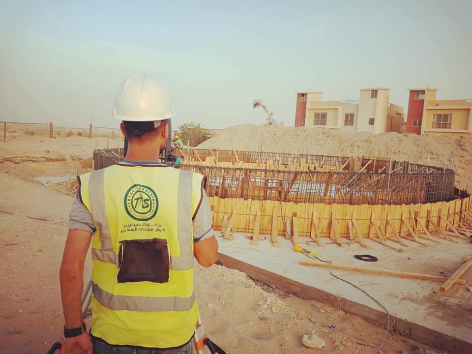
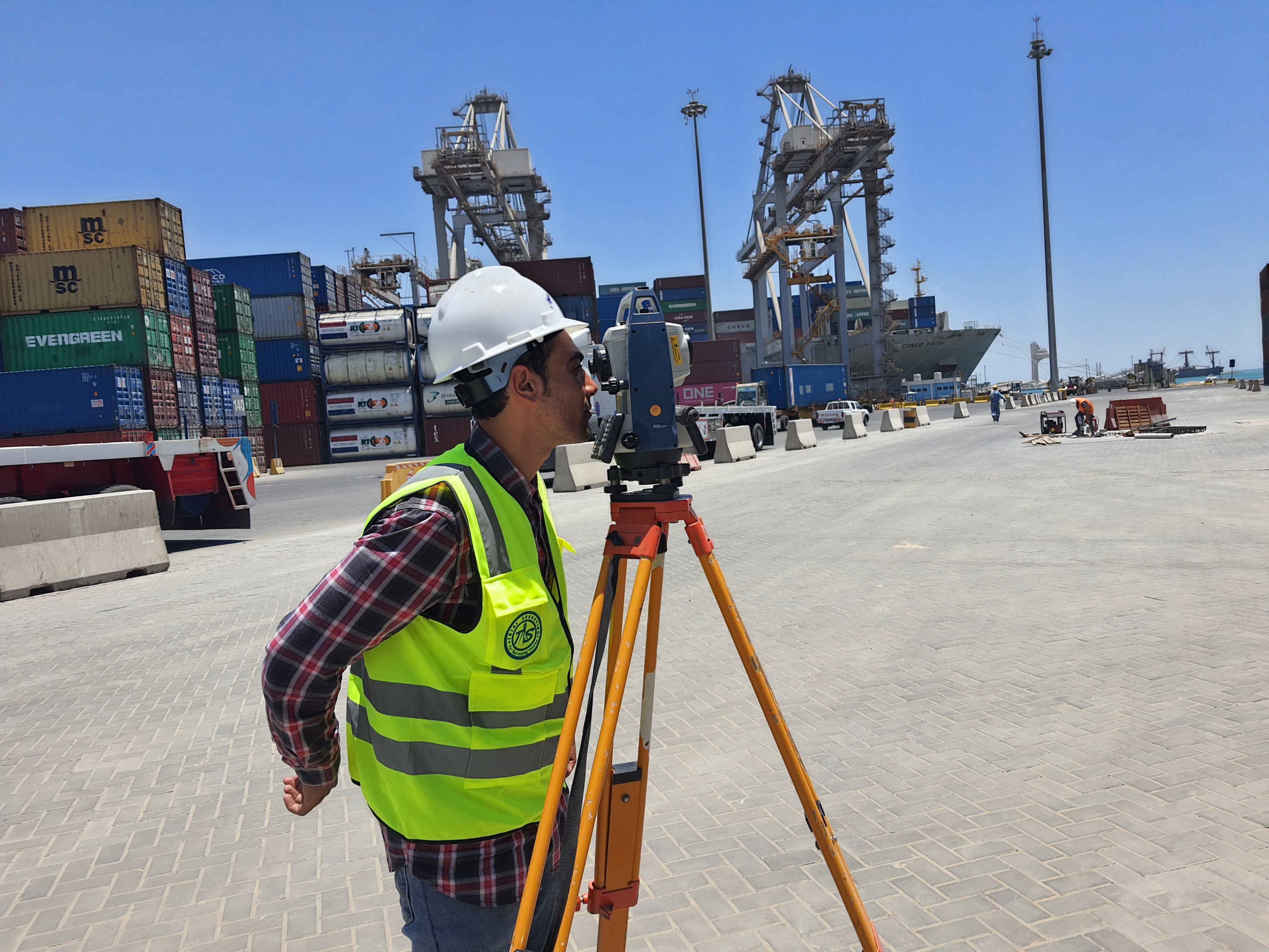
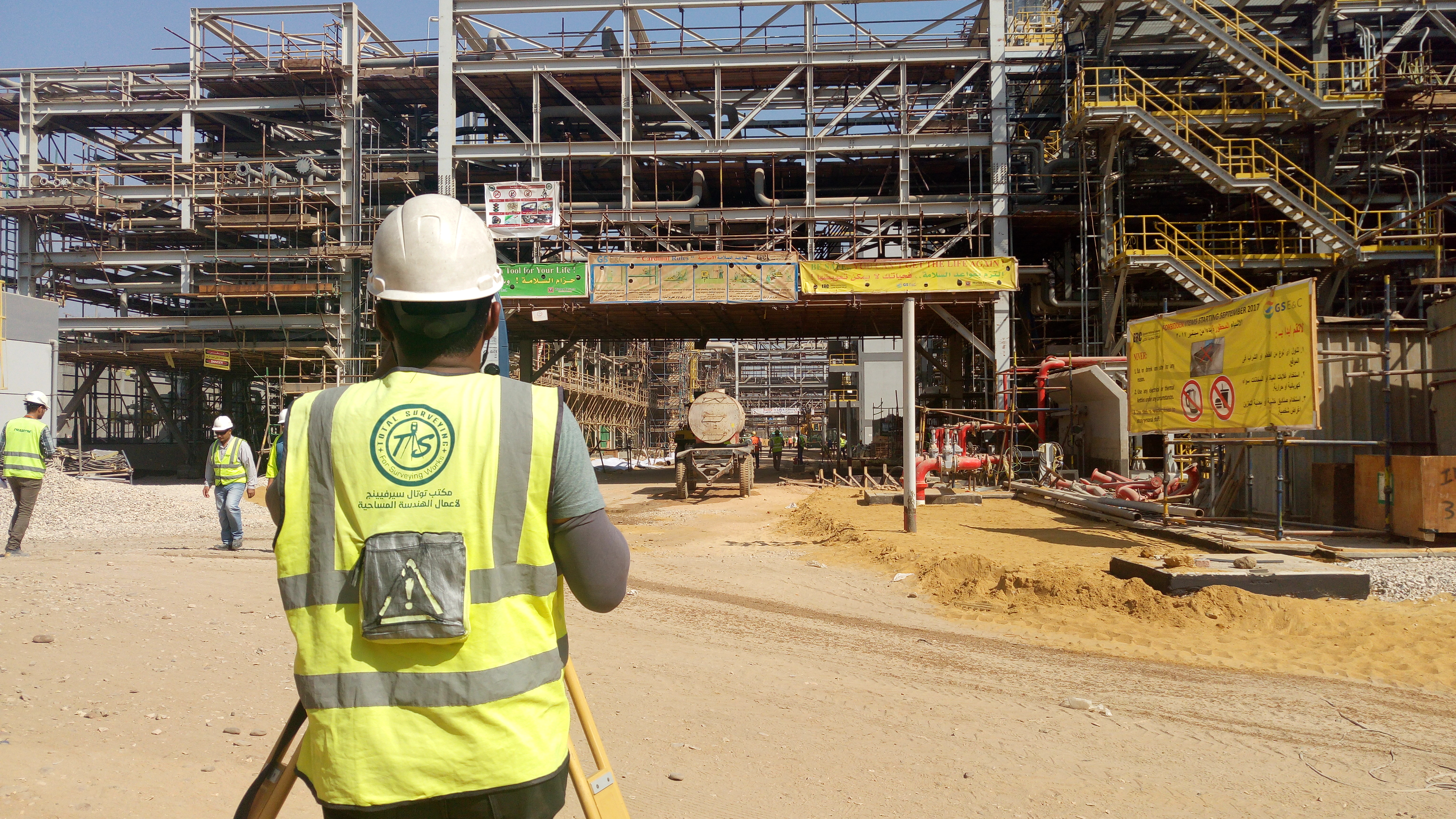
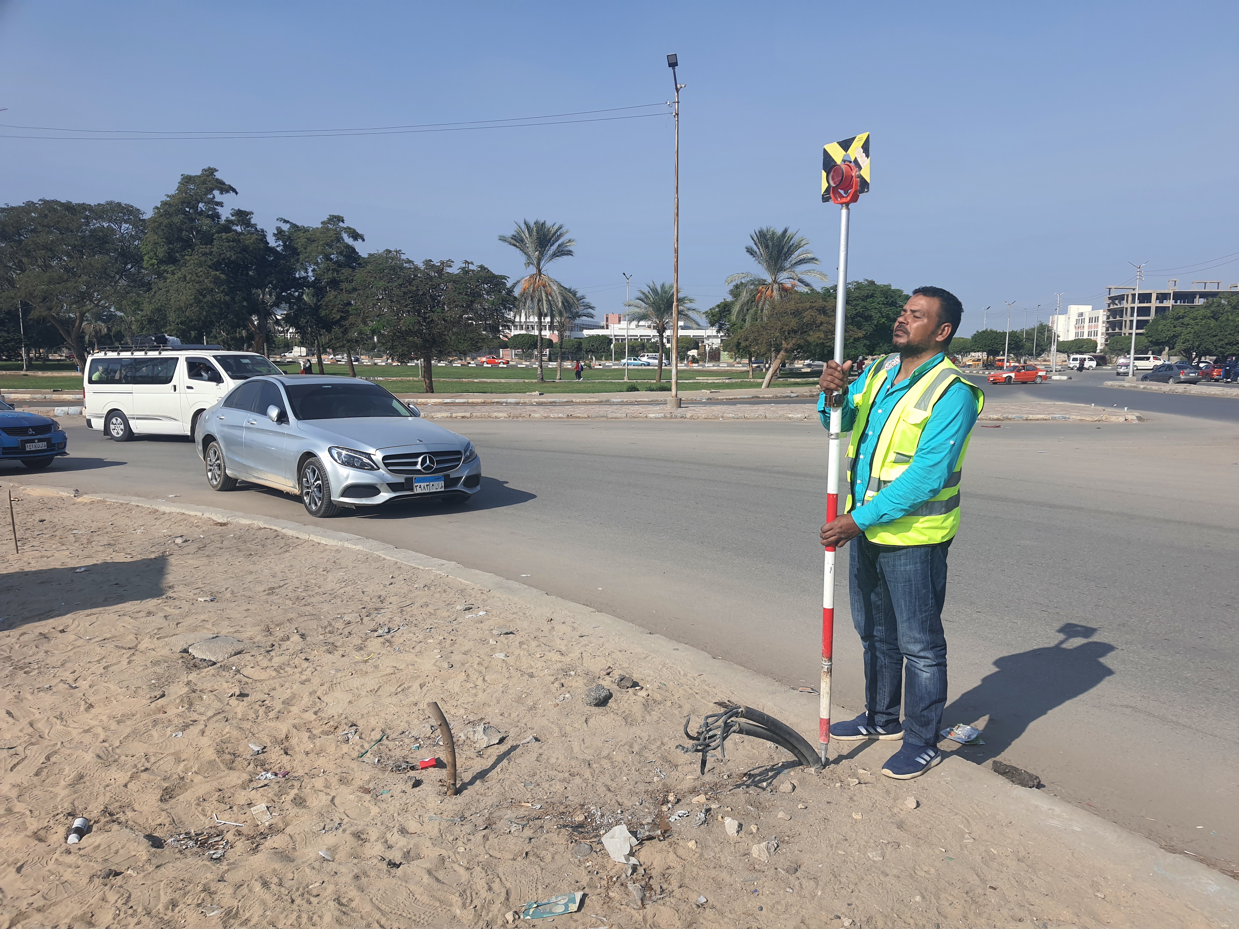
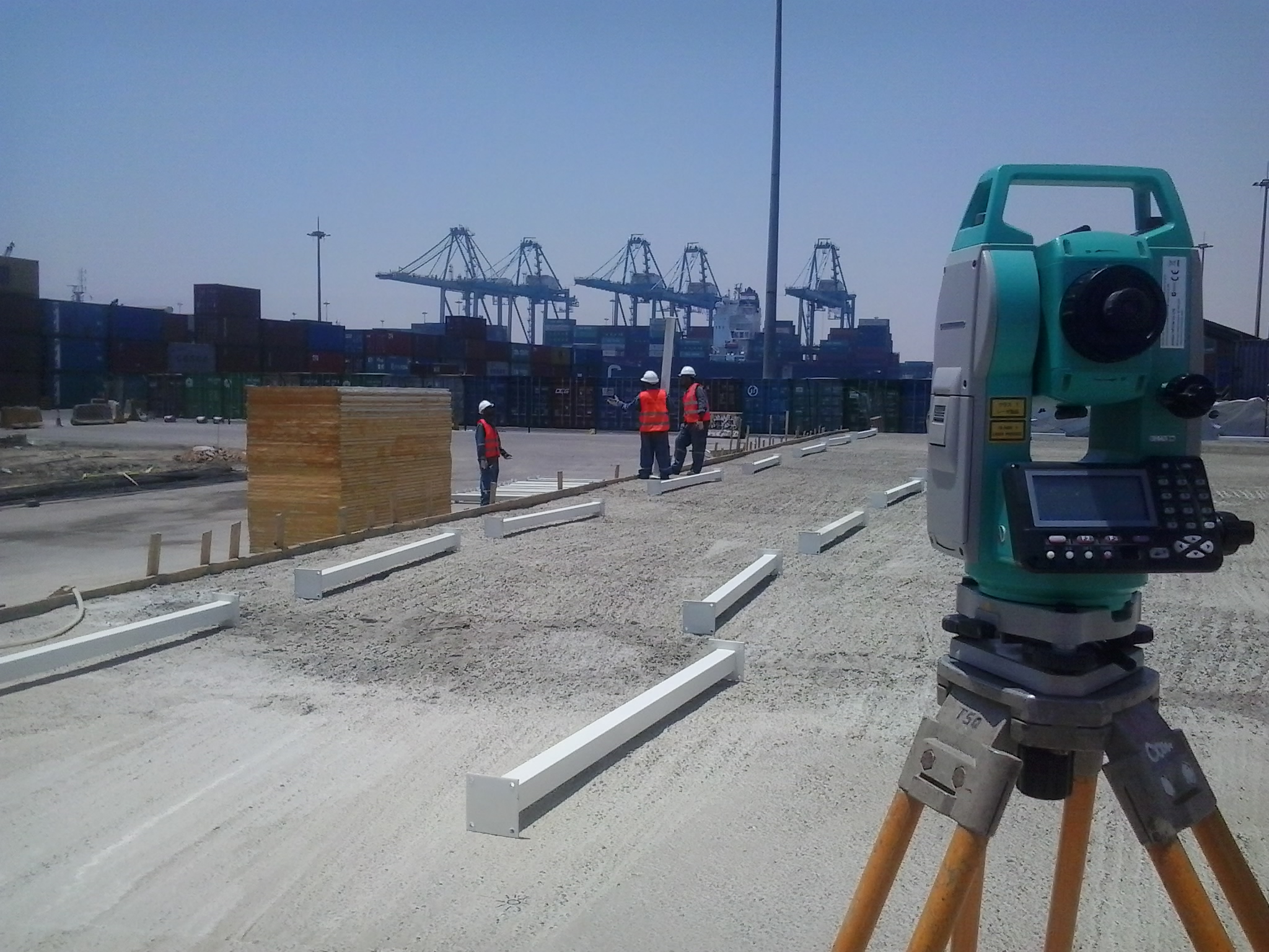
Setting-out surveys transfer approved engineering drawings and design data from plans to their actual positions on the ground with the surveying accuracy required by the project. The work includes reviewing drawings and design data, verifying the surveying control network and reference system, and carrying out field setting-out using the appropriate surveying equipment.
Design points, axes, elevations, and engineering elements are established in the field according to approved data, followed by surveying verification and checking to support construction teams and confirm that executed works correspond to the required design locations and elevations.
Scope of Setting-Out Survey Works
Setting out engineering elements according to approved drawings and design data
Axis Setting-Out
Setting out building, structural, and engineering axes and transferring alignment lines from approved drawings to the field.
Coordinates and Points
Setting out design points and specified coordinates and connecting them to the approved project surveying control network.
Elevation Setting-Out
Transferring design elevations to the field and checking the elevations of engineering elements throughout construction stages.
Engineering Elements
Setting out the locations of structures, engineering components, and project elements according to approved drawings and design data.
Setting-Out Methodology
Structured steps for connecting design data to the field and verifying construction accuracy
Review of Drawings and Design Data
Reviewing drawings, plans, coordinates, elevations, and required setting-out data before starting field operations.
Verification of Control Points and Surveying Network
Checking the reference control points, coordinate system, and elevation network used as the basis for setting-out works.
Preparation of Setting-Out Data
Preparing setting-out points, coordinates, elevations, and the required field data for construction activities.
Field Setting-Out
Transferring design elements to the field using Total Station, GNSS RTK, or other appropriate surveying equipment according to project requirements.
Setting-Out Verification and Construction Data
Checking established points and elements, verifying their positions and elevations, and documenting the required surveying data for construction.
Applications of Setting-Out Surveys
Supporting construction and execution activities across engineering projects
▰
╱
⌁
▱
⌘
✓
Setting-Out Deliverables
Surveying data and field points supporting engineering and construction teams
Accurate Setting-Out Supports Accurate Construction
The quality of setting-out depends on the accuracy of design data, the reliability of control points, and the appropriate selection of surveying methods and equipment according to project requirements.
Need Setting-Out Survey Services for Your Project?
Total Surveying Office can review your drawings and project requirements and determine the appropriate setting-out scope, equipment, and deliverables before field execution.
Need this service?
Request a free, no-obligation quote and our team will get back to you shortly.
Request a Quote