



Detailed Surveying
Detailed Survey
Accurate and comprehensive surveying of the existing site, including coordinates, elevations, existing features, structures, roads, boundaries, utilities, and other site details, providing reliable surveying data to support engineering design, construction, documentation, and project planning.
⌖ Detailed Data for Existing Site Representation
A reliable foundation for design, documentation, and construction
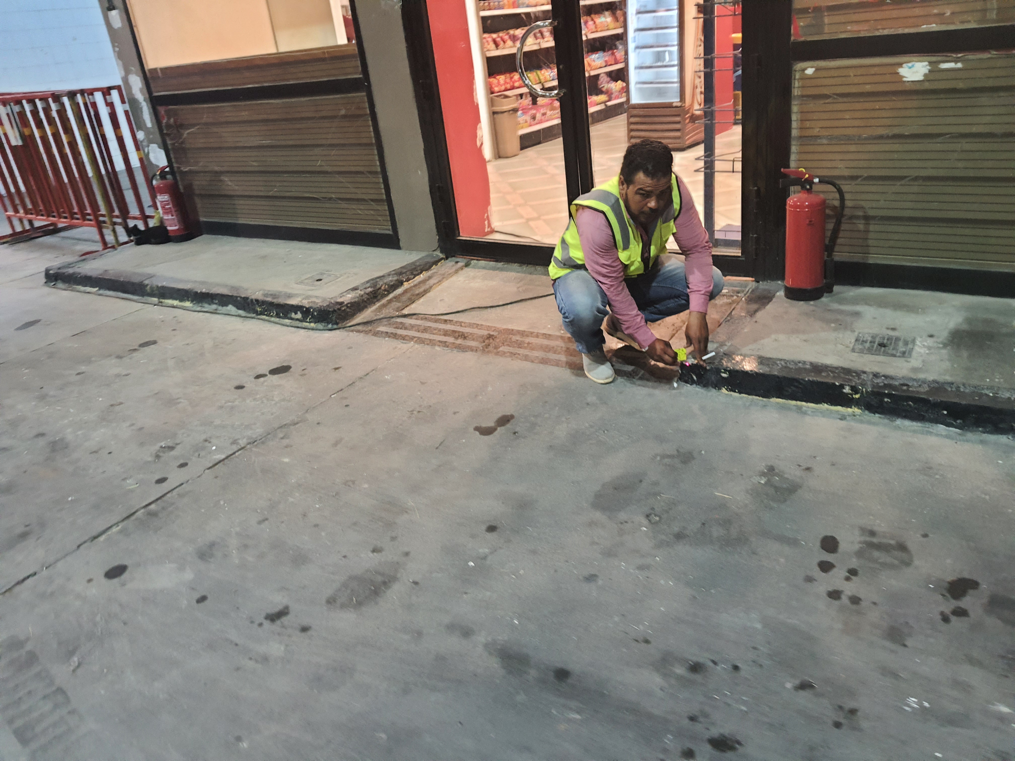
Detailed surveying provides accurate and comprehensive data about the existing site by determining point coordinates and elevations and recording natural and man-made features, structures, buildings, roads, fences, utilities, and other details within the project area.
Survey points and their density are determined according to the nature of the site, project requirements, required level of detail, and required accuracy, ensuring that site features and variations are properly represented for design, planning, and construction activities.
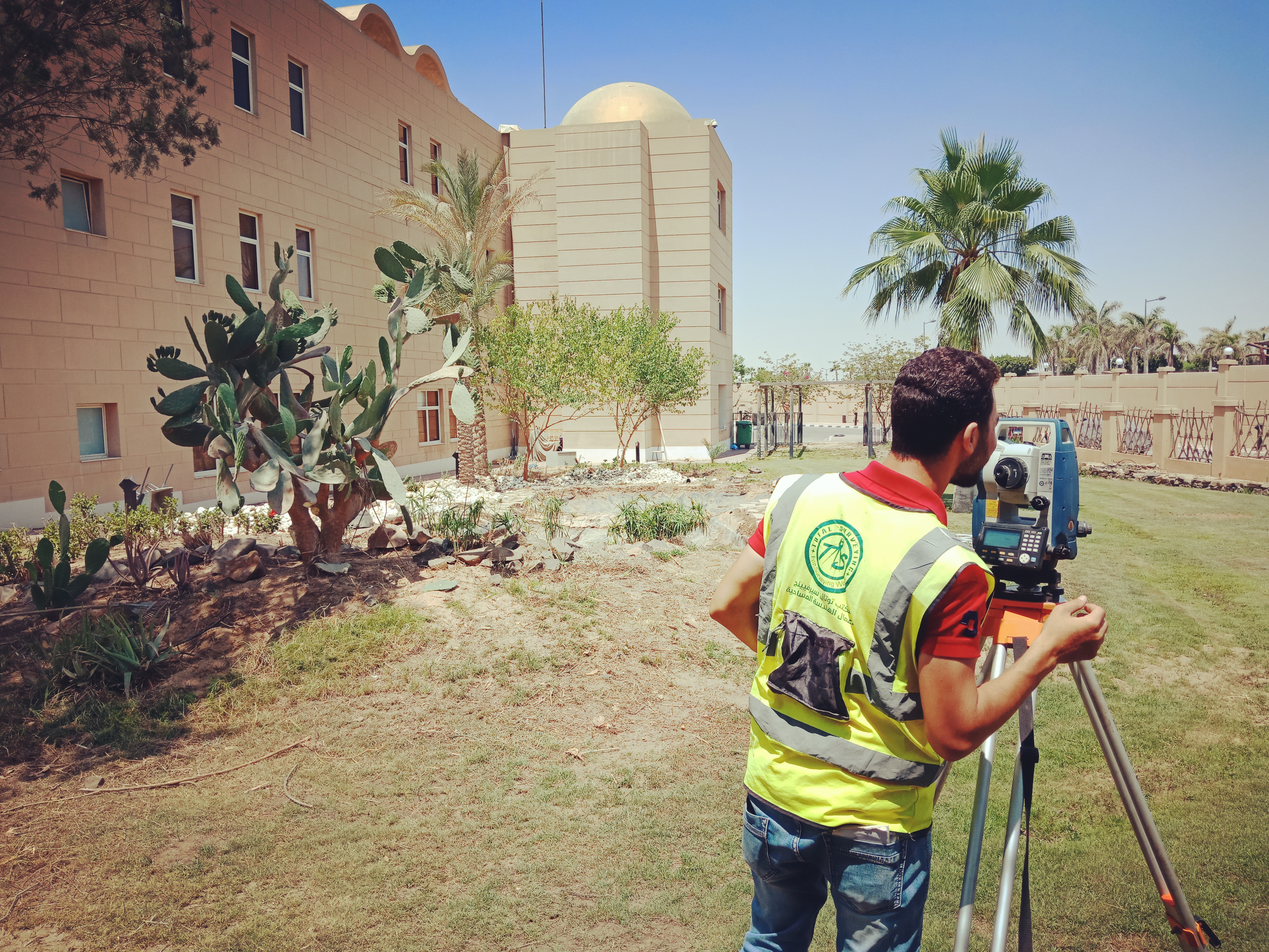
The work is carried out using Total Station, GNSS / RTK, and other appropriate surveying instruments and technologies, with the data connected to the project-approved coordinate and elevation systems when available.
After completing the field survey, the collected data is processed, reviewed, organized, and prepared as maps, points, and surveying data that can be used in AutoCAD, Civil 3D, design activities, and engineering calculations.
⌁ Scope of Detailed Survey Works
Collecting and representing existing features and site details within the project area
Points and Coordinates
Surveying and recording points with accurate coordinates and elevations according to the project requirements.
Elevations and Vertical Variations
Recording elevations and changes in ground levels to represent the existing vertical conditions of the site.
Existing Features and Elements
Surveying buildings, structures, roads, fences, boundaries, utilities, and other visible site features.
Engineering Details
Capturing the required geometric and surveying details needed for design, documentation, and construction works.
✓ Surveying Methodology
Structured steps to ensure completeness and accuracy of detailed surveying data
01 Site Study and Project Requirements
02 Control Points and Coordinate System
03 Detailed Field Survey
04 Data Processing and Review
05 Preparation of Maps and Engineering Data
▦ Applications
Detailed surveying for different engineering and construction requirements
▰ Buildings and Structures
╱ Roads and Transportation Corridors
⌁ Utilities and Services
▱ Sites and Development Works
⌘ Engineering Design and Documentation
⚙ Industrial Projects
▤ Deliverables
Organized surveying outputs prepared according to project requirements
Detailed Survey Map
Point and Coordinate Data
Elevations and Surfaces
Profiles and Engineering Data
✓ Accurate Details Support Better Design and Construction Decisions
Reliable detailed survey data provides an accurate representation of the existing site and helps engineering teams understand actual site conditions before design and construction activities.
Properly organized coordinates, elevations, features, and engineering details reduce uncertainty and provide a dependable surveying reference for design, coordination, execution, and documentation.
Need a Detailed Survey for Your Project?
Total Surveying Office can review the site conditions and project requirements and determine the appropriate detailed survey scope, surveying methods, accuracy level, and required deliverables before field execution.
Need this service?
Request a free, no-obligation quote and our team will get back to you shortly.
Request a Quote