
Surveying Monitoring and Deformation Monitoring
Surveying Monitoring and Deformation Monitoring
Accurate surveying services for monitoring movements, deformations and changes in the position and elevation of structures and engineering elements during construction and operation.
Accurate Data for Monitoring Structural Movement
A reliable basis for detecting movements, deformations and changes over time
Surveying Monitoring and Deformation Monitoring is a specialized surveying service used to measure and track spatial and vertical changes that may occur in structures and engineering elements over time.
The work is based on establishing dedicated monitoring points at selected locations across the structure and connecting them to stable reference control points. Repeated measurements are then carried out at defined time intervals, allowing the results of different monitoring cycles to be compared accurately.
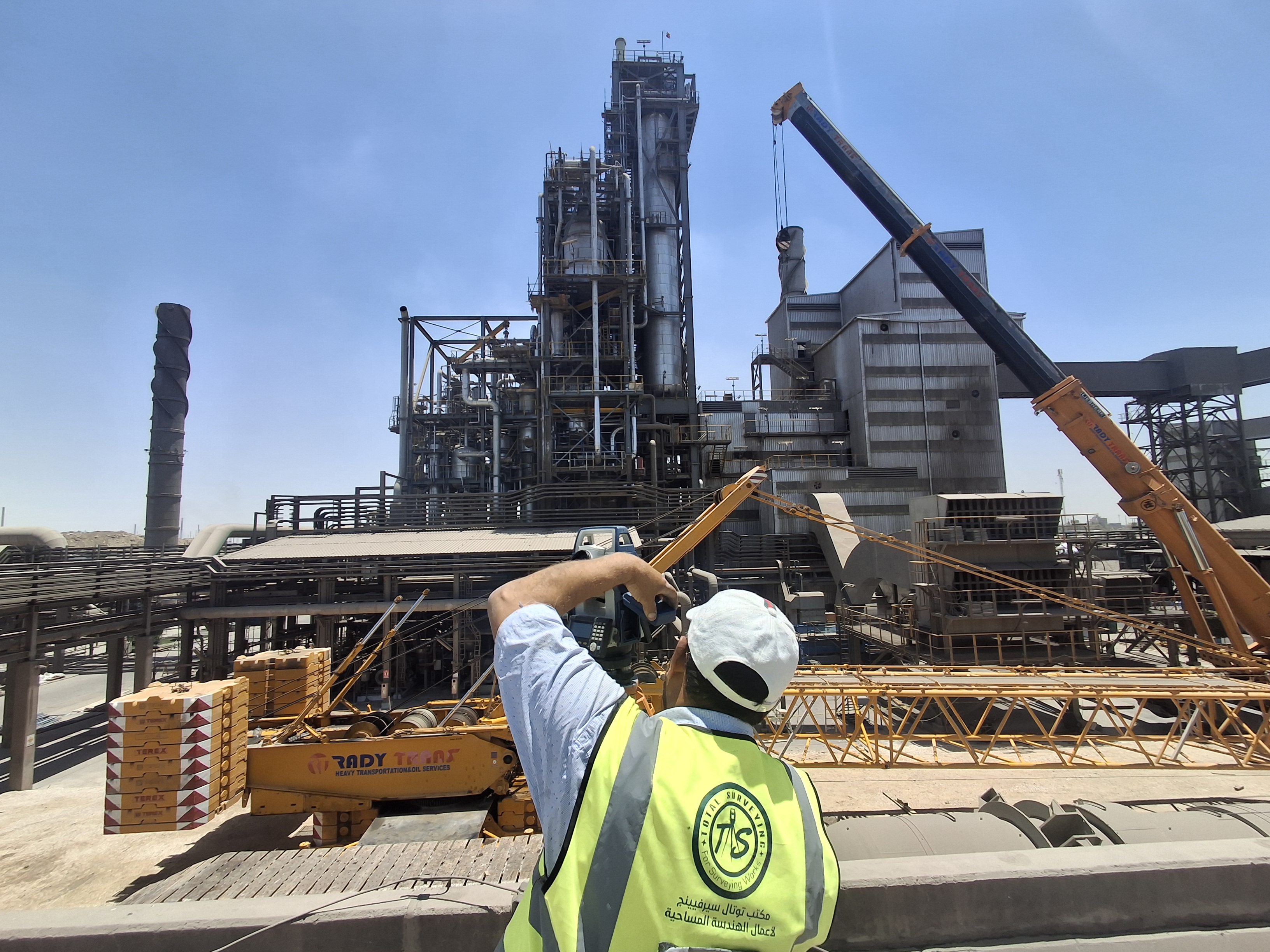
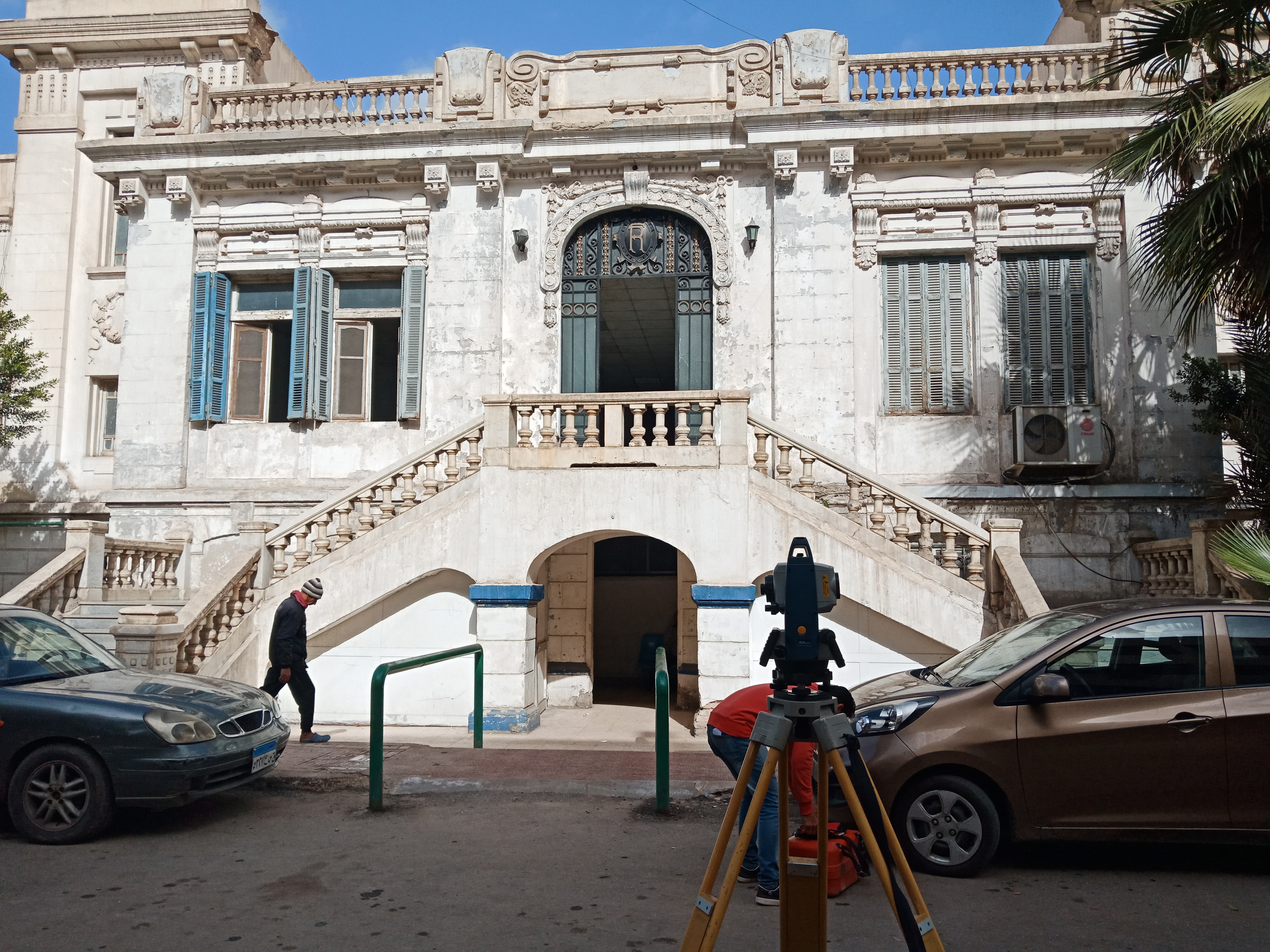
The appropriate surveying method and equipment are selected according to the nature of the structure, required accuracy, monitoring period and project requirements. Monitoring can be performed using Total Station, GNSS / RTK, Digital Level and 3D Laser Scanner.
The collected observations are processed, reviewed and analyzed to determine horizontal and vertical movements, settlement, displacement and other geometric changes. The results are documented through tables, drawings and periodic monitoring reports to support engineering assessment and project decision-making.
Scope of Surveying Monitoring Works
Periodic measurement and monitoring of engineering movements and changes
Monitoring Point Establishment
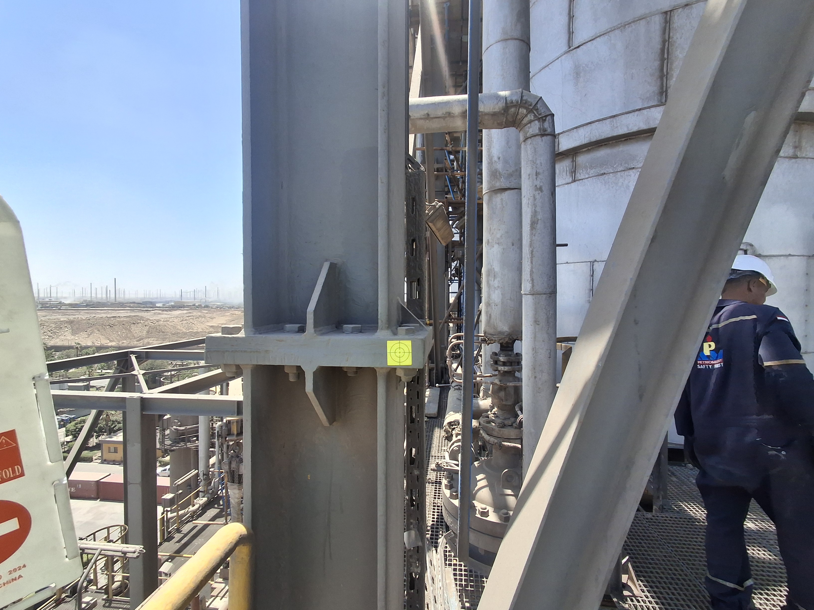
Establishing and distributing monitoring points across the structure and areas of interest and connecting them to stable reference control points for reliable comparison over time.
Vertical Movement Monitoring
Measuring and monitoring changes in elevations and levels and detecting settlement or vertical movement through successive observation cycles.
Horizontal Movement Monitoring
Monitoring horizontal changes in the position of observation points and determining the magnitude and direction of movement compared with previous surveys.
Deformation Monitoring
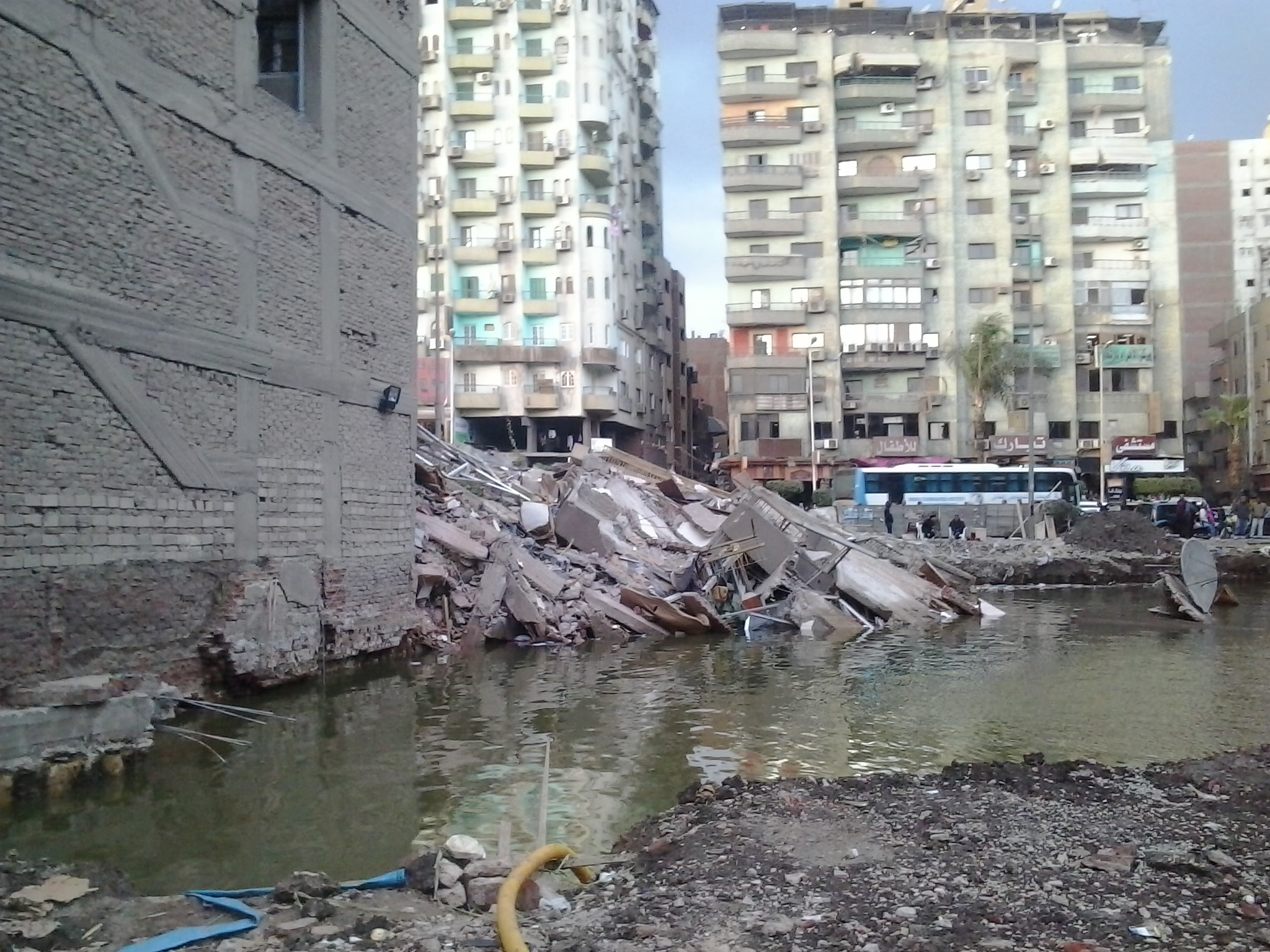
Monitoring geometric changes and deformations in structures, surfaces and engineering elements and analyzing differences between successive measurements.
Surveying Monitoring Methodology
A structured process for accurate measurements and reliable monitoring results
Structure Assessment & Monitoring Requirements
Reference Control Point Verification
Monitoring Point Establishment
Field Measurement & Monitoring Cycle
Monitoring Data Processing & Analysis
Periodic Monitoring Reports
Monitoring Equipment & Technologies
Selecting the appropriate surveying technology according to the structure and required accuracy
Total Station
Used for accurately monitoring horizontal and vertical movements and measuring coordinates, angles and distances to monitoring points.
GNSS / RTK
Used for coordinate monitoring, detecting spatial changes and connecting observations to the appropriate project reference system.
Digital Level
Used for precise elevation monitoring, differential leveling and detecting settlement and vertical changes at monitoring points.
3D Laser Scanner
Used for three-dimensional documentation of surfaces and engineering elements and for analyzing geometric changes and deformations in complex structures.
Applications of Surveying Monitoring
Monitoring movements and changes in engineering structures and projects
▰
Buildings & Structures
Monitoring movements and changes in buildings, structures and structural elements during construction and operation.
╱
Bridges & Special Structures
Monitoring movements and deformations in bridges and special engineering structures and tracking changes over time.
⌁
Dams & Hydraulic Structures
Monitoring movements and changes in dams, hydraulic structures and their surrounding areas.
▱
Excavations & Slopes
Monitoring movement of excavation sides, slopes and surrounding elements during construction works.
⌘
Industrial Projects
Monitoring industrial structures, equipment and engineering elements within factories and industrial facilities.
⚙
Deformation Analysis
Analyzing geometric changes and deformations and comparing measurements across different observation periods.
Surveying Monitoring Deliverables
Clear surveying data and reports documenting measurement results and recorded changes
Monitoring Point Data
Coordinates, elevations and measurement results for monitoring points during each observation cycle.
Movement Values
Horizontal and vertical differences and movements between successive measurement cycles.
Maps & Drawings
Maps and drawings showing monitoring point locations and the magnitude and direction of recorded changes.
Monitoring Reports
Periodic reports presenting measurement results, comparisons and technical observations from monitoring activities.
A Reliable Basis for Monitoring Structural Movement
Surveying monitoring provides accurate data that allows the engineering condition of a structure to be compared across different time periods. This helps identify movements, changes and deformations and track their magnitude and direction in a structured manner.
Establishing appropriate monitoring points and connecting all observations to a stable reference control network provides reliable results that support engineering monitoring, documentation, analysis and technical decision-making according to project requirements.
Do You Need Surveying Monitoring Services for Your Project?
Total Surveying Office can assess your structure and monitoring requirements and determine the appropriate monitoring points, equipment, observation frequency and project deliverables.
Need this service?
Request a free, no-obligation quote and our team will get back to you shortly.
Request a Quote