
As-Built Survey
Surveying Services
Construction Surveying
Accurate surveying services supporting construction projects through precise setting out of axes, coordinates, elevations and design elements on site in accordance with approved drawings and engineering data.
Accurate Transfer of Design to Site
The essential link between engineering design and field execution
Construction Surveying is one of the essential surveying activities associated with the execution stages of construction projects. It converts approved engineering drawings and design data into accurately defined points, axes, coordinates and elevations on the ground.
Construction surveying helps project execution teams accurately locate structural, architectural, road and infrastructure elements while providing a reliable surveying reference throughout the different stages of construction.
The work includes setting out axes, coordinates, elevations and the locations of various elements, as well as verifying the position and dimensions of constructed works against approved designs. This helps identify deviations at an early stage, reduce construction errors and minimize rework.
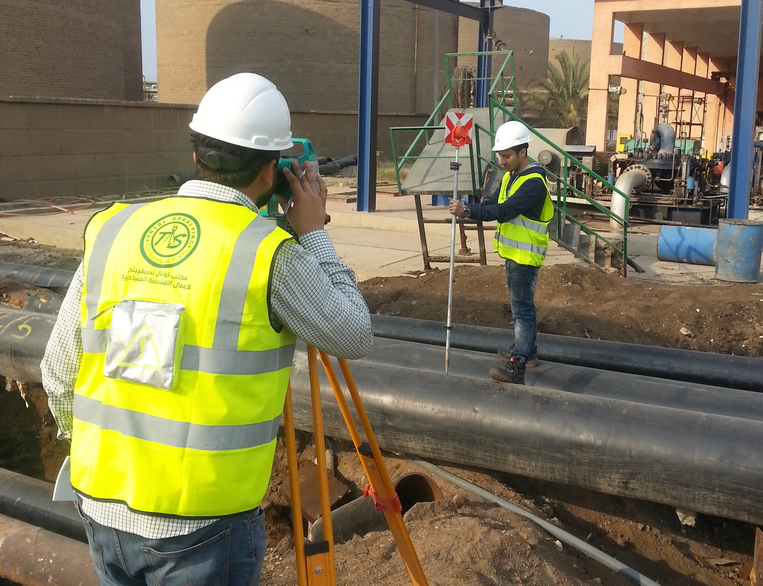
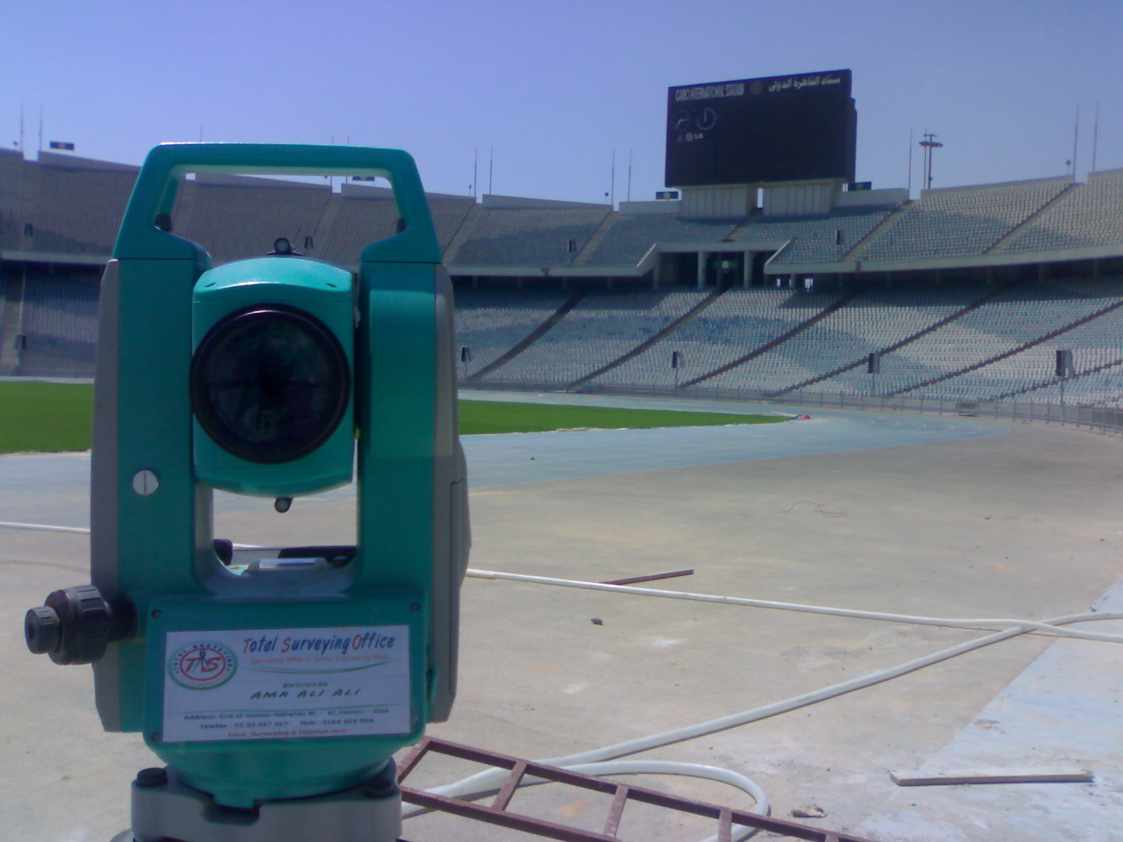
Surveying methods and equipment are selected according to the project requirements and required accuracy, with the use of Total Station, GNSS / RTK, Digital Level and Laser Measurement technologies, while maintaining the approved project coordinate and elevation reference system.
Construction Surveying Scope
Setting out and verification of required elements throughout construction
Axes & Coordinate Setting Out
Accurate setting out of main and secondary axes, design coordinates and construction points according to approved drawings and the project coordinate system.
Elevation Setting Out
Establishing and transferring elevations and vertical control points while monitoring construction levels to ensure compliance with design elevations.
Structural & Architectural Elements
Setting out foundations, footings, columns, walls and various structural and architectural elements according to approved drawings and designs.
Roads & Infrastructure
Setting out and verification of roads, pavements, utility networks, service routes, pipelines and other infrastructure elements.
Execution Methodology
Organized procedures to ensure accurate setting out and surveying verification
Review of Drawings & Construction Requirements
Establishment of Survey Control
Setting Out Axes & Design Points
Elevation Setting Out & Monitoring
Verification of Constructed Works
Survey Data & Documentation
Construction Surveying Applications
Surveying services supporting different project types and construction stages
▰
Residential & Administrative Buildings
Setting out axes, foundations, columns and walls and verifying element positions throughout construction.
⚙
Industrial Facilities & Factories
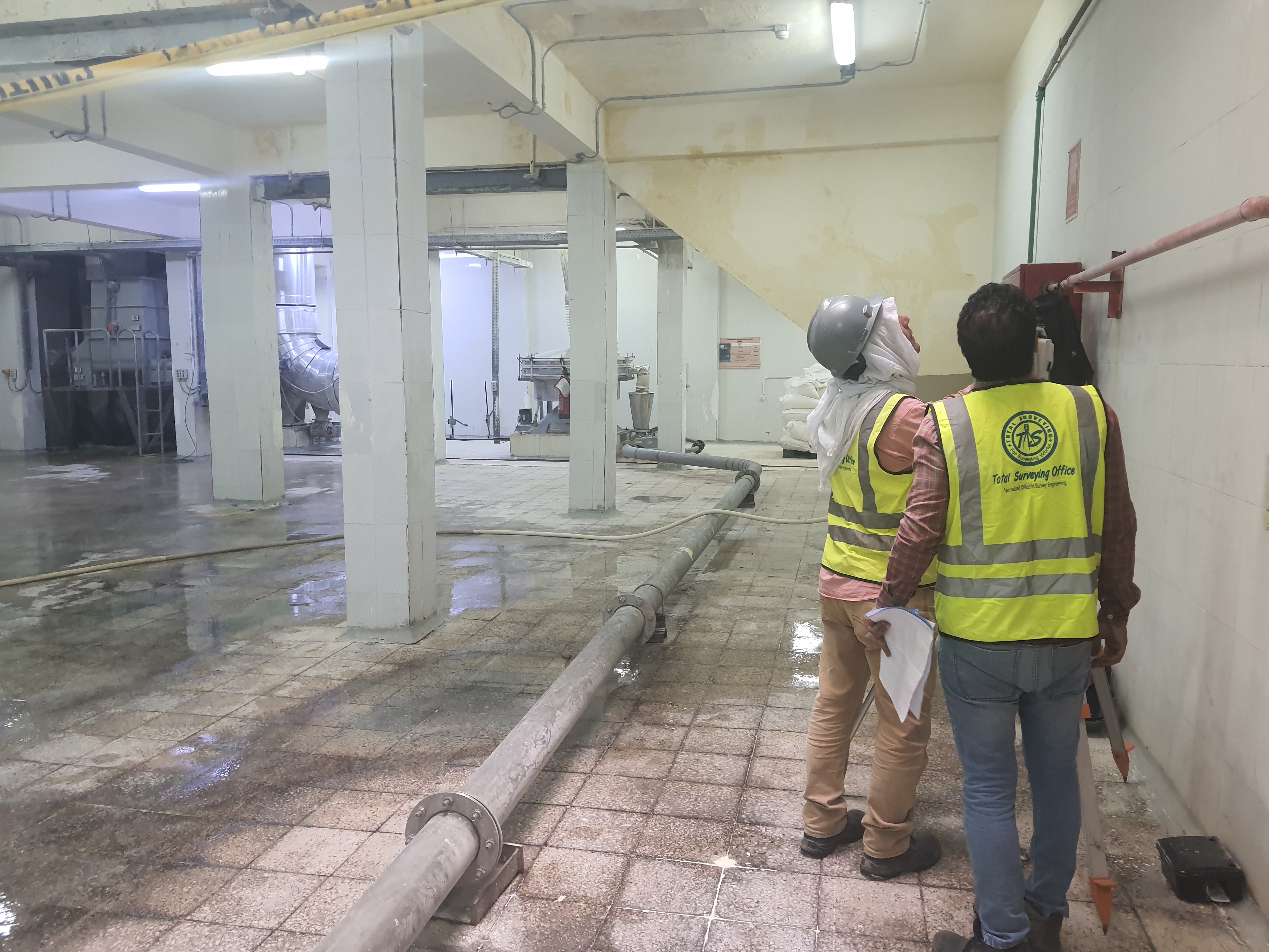
Supporting the construction of industrial facilities, foundations, equipment and elements requiring high surveying accuracy.
⌂
Hospitals & Medical Facilities
Setting out and verifying structural, architectural and service elements throughout the project.
╱
Roads & Bridges
Setting out axes, levels and alignments while monitoring earthworks, pavement works and related structures.
⌁
Infrastructure & Utility Networks
Setting out water, wastewater, electrical, utility and pipeline routes and their associated elements.
▱
Major & Urban Development Projects
Supporting surveying, construction and verification activities for large-scale and multidisciplinary development projects.
Surveying Equipment & Technologies
Selecting the appropriate technology according to the work requirements and required accuracy
Total Station
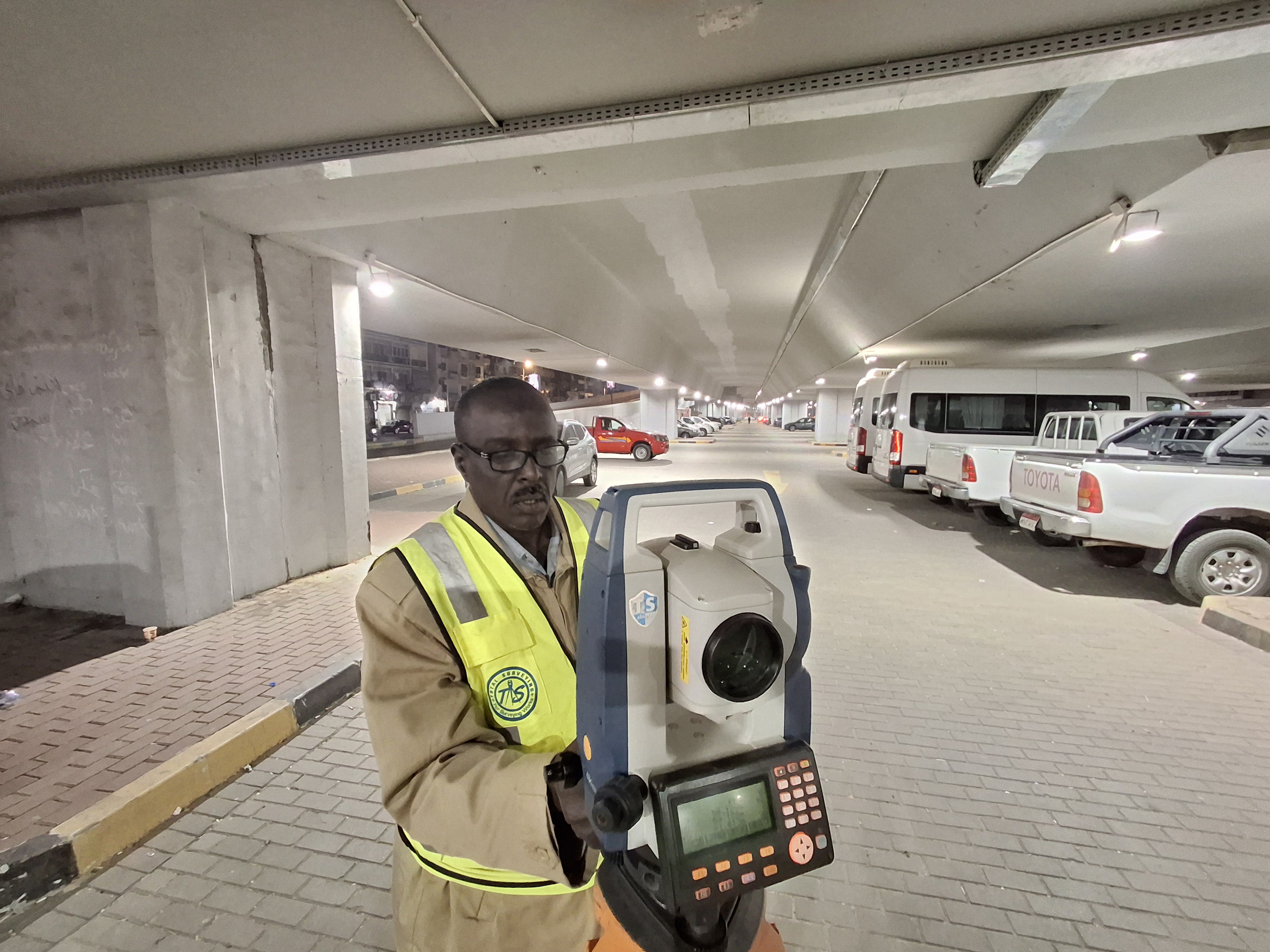
Used for accurate setting out of axes, coordinates, elevations and structural elements, as well as construction verification.
GNSS / RTK
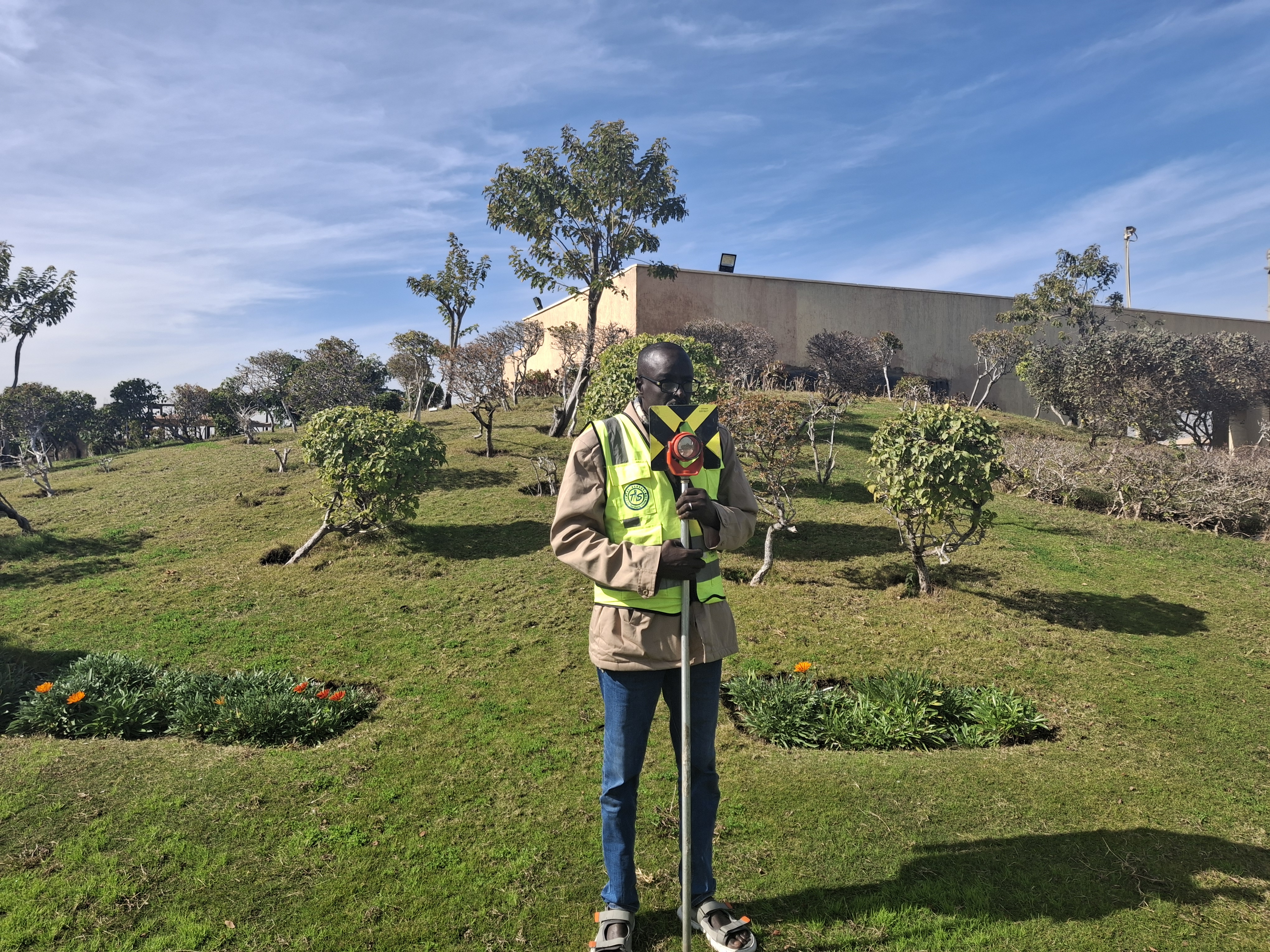
Used for coordinate positioning, project control and construction surveying tasks requiring satellite-based positioning.
Digital Level
Used for precise leveling, elevation transfer and verification of vertical control points throughout construction.
Laser Measurement
Used for rapid field measurements, dimensional checks and direct measurement of distances and construction elements.
Surveying Deliverables
Survey data and drawings supporting construction and engineering verification
Setting-Out Points & Axes
Defined construction points, axes and design coordinates required for field execution.
Elevation Data
Elevation information and vertical control points used throughout the construction stages.
Survey Drawings
Drawings and survey data showing element positions, coordinates and elevations according to project requirements.
Verification Reports
Reports and data presenting verification results and comparisons between constructed works and approved designs.
Construction Accuracy Starts with Accurate Setting Out
Construction surveying provides the direct link between engineering design and actual field execution. Accurate coordinates, axes and elevations ensure that structural, architectural and infrastructure elements are positioned correctly according to approved drawings.
Continuous surveying verification also helps identify deviations and construction errors at an early stage, reducing rework while supporting construction quality and compliance with approved designs and engineering requirements.
Do You Need Construction Surveying for Your Project?
The Total Surveying Office team can review your project requirements, drawings and construction scope to determine the appropriate surveying services, equipment and required accuracy.
Need this service?
Request a free, no-obligation quote and our team will get back to you shortly.
Request a Quote