Mapping for Documentation and Legalization Purposes
Surveying Maps for Documentation and Legalization Purposes
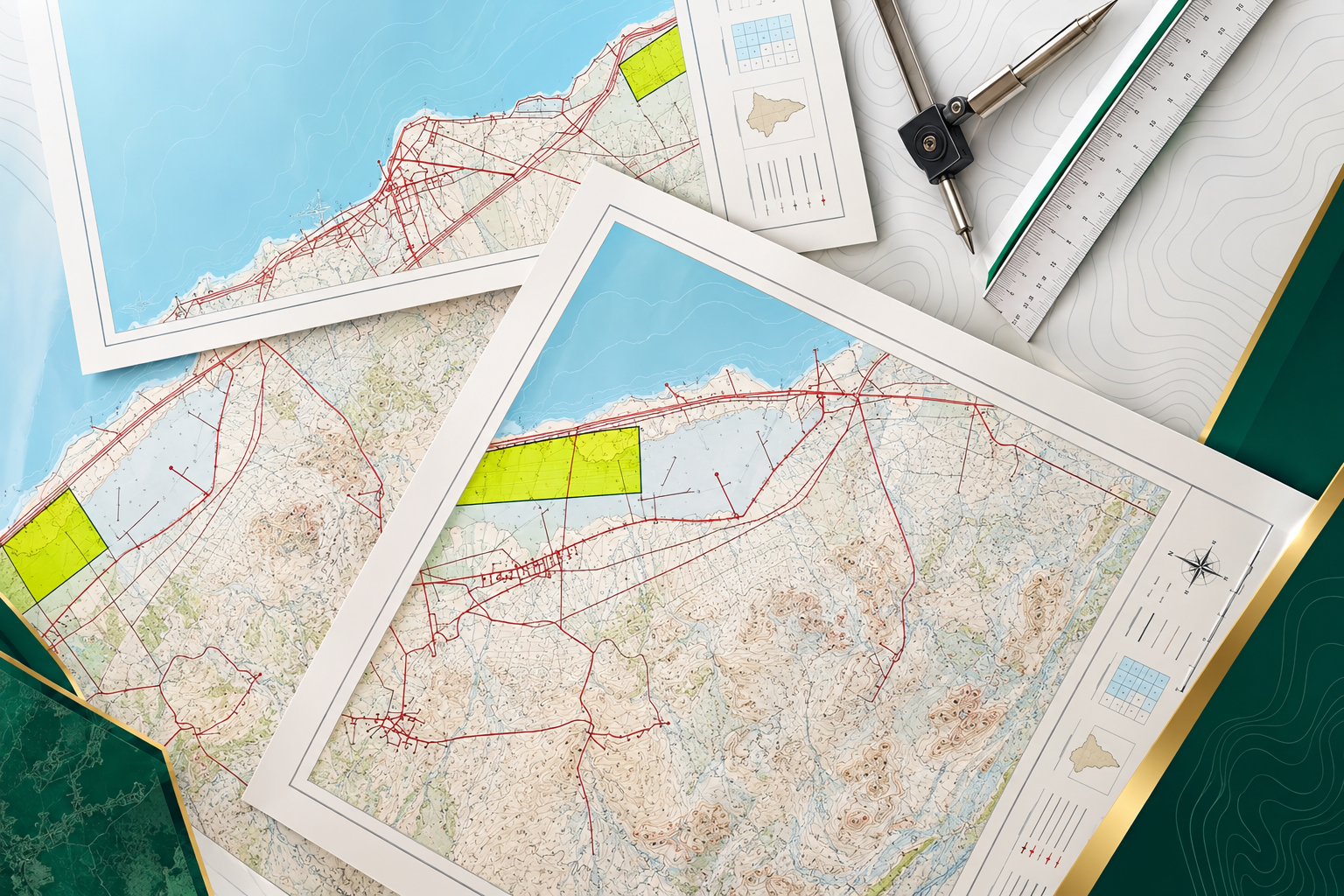
Preparation of accurate surveying maps to document the existing conditions of land, sites and structures, and support documentation, legalization and verification procedures.
Accurate Surveying Maps for Existing Conditions Documentation
Reliable surveying data for documentation, legalization and verification procedures
Surveying maps for documentation and legalization purposes are specialized surveying services aimed at documenting the existing conditions of land, sites and structures by accurately determining boundaries, locations, dimensions, elevations and existing features and connecting them to reliable survey coordinates.
The scope of work may include surveying land boundaries, areas, buildings, structures and existing site features, as well as roads, access points, fences, utilities and other visible elements required for the documentation process.
Field surveys are carried out using appropriate surveying equipment and technologies according to the site conditions and project requirements. These may include GPS / GNSS, Total Station, Digital Level and Laser Scanner when required, allowing the collection of accurate spatial and engineering data for map preparation.
The collected field data is processed, reviewed and connected to the approved coordinate system, followed by the preparation of surveying maps and drawings showing the existing conditions, boundaries, dimensions, locations, elevations and other required information. The resulting maps can support documentation, legalization and verification procedures in accordance with the requirements of the relevant authority or project.
Scope of Surveying Maps for Documentation and Legalization
Surveying and documenting boundaries, buildings and existing site features
Land Boundary and Location Survey
Determining and surveying land boundaries, location and dimensions and connecting them to survey coordinates according to the available references and project requirements.
Existing Buildings and Structures
Surveying the locations, dimensions and existing conditions of buildings, structures and site features as they physically exist on site.
Verification Against Documents and Drawings
Comparing field survey data with available drawings, documents and records and identifying differences or discrepancies where applicable.
Documentation and Legalization Maps
Preparing surveying maps and drawings required for documentation and legalization purposes according to the requirements of the relevant authority or project.
Methodology for Preparing Surveying Maps
Organized steps from document review and field survey to final map preparation
Site and Document Review
Establishing Survey References and Coordinate System
Field Survey Execution
Measuring Coordinates, Dimensions and Elevations
Data Processing and Survey Drawing Preparation
Data Verification and Comparison
Final Surveying Maps and Drawings
Surveying Equipment and Technologies
Appropriate surveying technologies for accurate and reliable field data collection
GPS / GNSS
Determining coordinates and connecting site features to the approved coordinate system for accurate positioning of land boundaries and existing features.
Total Station
Performing detailed surveys and measuring angles, distances and coordinates of buildings, structures and existing site features.
Digital Level
Measuring and transferring elevations and determining height differences where accurate elevation documentation is required.
Laser Scanner
Using laser scanning when detailed and rapid documentation of buildings, structures and existing site elements is required, providing dense spatial data.
Applications of Surveying Maps for Documentation and Legalization
Supporting documentation, verification, legalization and existing-condition records
▰
Land and Property Documentation
Preparing surveying maps showing the boundaries, location and areas of land and properties and documenting their existing conditions.
⌂
Building and Structure Legalization
Providing surveying data and maps documenting the locations and dimensions of existing buildings and structures to support legalization procedures.
⌖
Existing Condition Documentation
Documenting the actual site conditions through field surveying, coordinates, dimensions and elevations.
▱
Documentation Map Preparation
Creating digital surveying maps showing boundaries, buildings, structures and other required site features for documentation purposes.
⌘
Comparison with Drawings and Records
Comparing field survey results with available drawings, plans and records and identifying differences where required.
⚙
Updating Spatial Records
Providing updated surveying data that can support map and spatial record updates, development and future planning.
Deliverables of Surveying Map Preparation
Clear surveying maps and data documenting the existing conditions according to the project scope
Surveying Map
A surveying map showing site boundaries, locations and areas of buildings, structures and existing features.
Coordinates and Dimensions
Coordinate, dimension and elevation data for the features surveyed and documented in the field.
Digital Drawings
Digital drawings showing existing conditions, boundaries, buildings and relevant surveying features.
Survey Report and Data
Survey data and a technical report describing the methodology, field data, results and prepared deliverables.
Accurate Existing-Condition Documentation for Legalization Procedures
Accurate surveying maps provide a clear representation of the actual condition of land, sites, buildings, structures and existing features. They help document spatial information and connect it with the coordinates, dimensions and elevations required for documentation and legalization purposes.
The accuracy and scope of the final maps depend on the site conditions, available documents and records, project requirements and the requirements of the relevant authority. Therefore, the survey methodology, equipment and deliverables are selected according to the actual project requirements, while distinguishing between information surveyed in the field and information obtained from available documents and drawings.
Do you need a surveying map for documentation or legalization?
Total Surveying Office can review your site requirements and carry out the necessary surveying works and prepare the required maps and drawings using appropriate surveying equipment and technologies according to the project requirements.
Need this service?
Request a free, no-obligation quote and our team will get back to you shortly.
Request a Quote