

Earthwork Quantity Surveying and Cut & Fill Volume Calculations
Earthwork Quantities & Cut and Fill Calculation
Accurate surveying services for measuring, reviewing, and calculating cut and fill quantities and elevation differences between existing and design surfaces, using a range of surveying technologies selected according to site conditions, project requirements, and required accuracy.
〽 Accurate Data for Earthwork Quantity Calculation
A reliable basis for earthwork measurement, quantity verification, and project control
The accuracy of cut and fill calculations depends on the quality of the surveying data used to represent the existing ground surface and compare it with the design or target surface. Field data is therefore collected according to the site conditions, terrain characteristics, project requirements, and required level of detail.
Earthwork quantity surveys can be performed using a variety of surveying instruments and technologies, including Laser Scanners, Total Stations, and GPS / GNSS / RTK systems, as well as other suitable surveying technologies. This allows the measurement method to be selected according to the required accuracy, speed, coverage, and data density.
After collecting the field data, existing and design surfaces can be created or updated, the elevations can be reviewed, and the differences between surfaces can be analyzed to calculate cut and fill quantities. The project area can also be divided into zones or sections when more detailed quantity analysis is required.
The results can be prepared as quantity tables, maps, surface data, and surveying information suitable for construction monitoring, quantity verification, earthwork measurement, progress evaluation, and engineering review.
⌁ Scope of Earthwork Quantity Services
Collecting field data, analyzing surfaces, and calculating earthwork quantities
Points and Elevation Survey
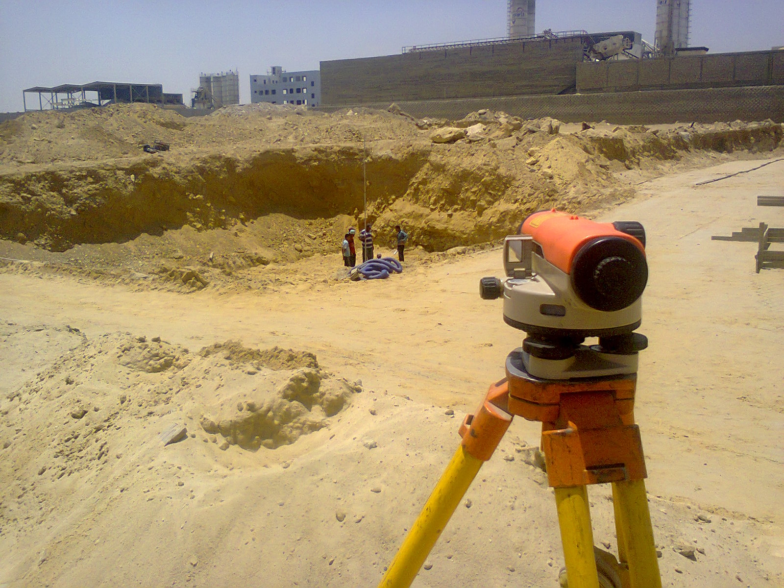
Collecting survey points and elevations with a distribution and density appropriate to the site conditions and ground variations.
Surface Creation and Review
Creating and reviewing existing and design surfaces used for comparison and earthwork quantity calculations.
Cut and Fill Calculation
Calculating elevation differences and the resulting cut and fill quantities between existing and design or target surfaces.
Zone and Section Analysis
Dividing the project area into zones or sections and calculating quantities separately when detailed analysis is required.
⚙ Surveying Technologies and Equipment
Selecting the most suitable measurement technology according to site conditions and required accuracy
Laser Scanner
High-density point collection for detailed representation of surfaces and complex areas, providing extensive spatial data efficiently.
Total Station
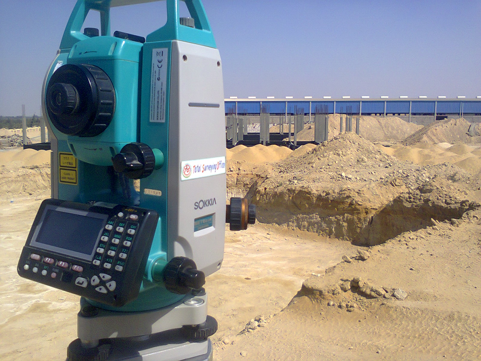
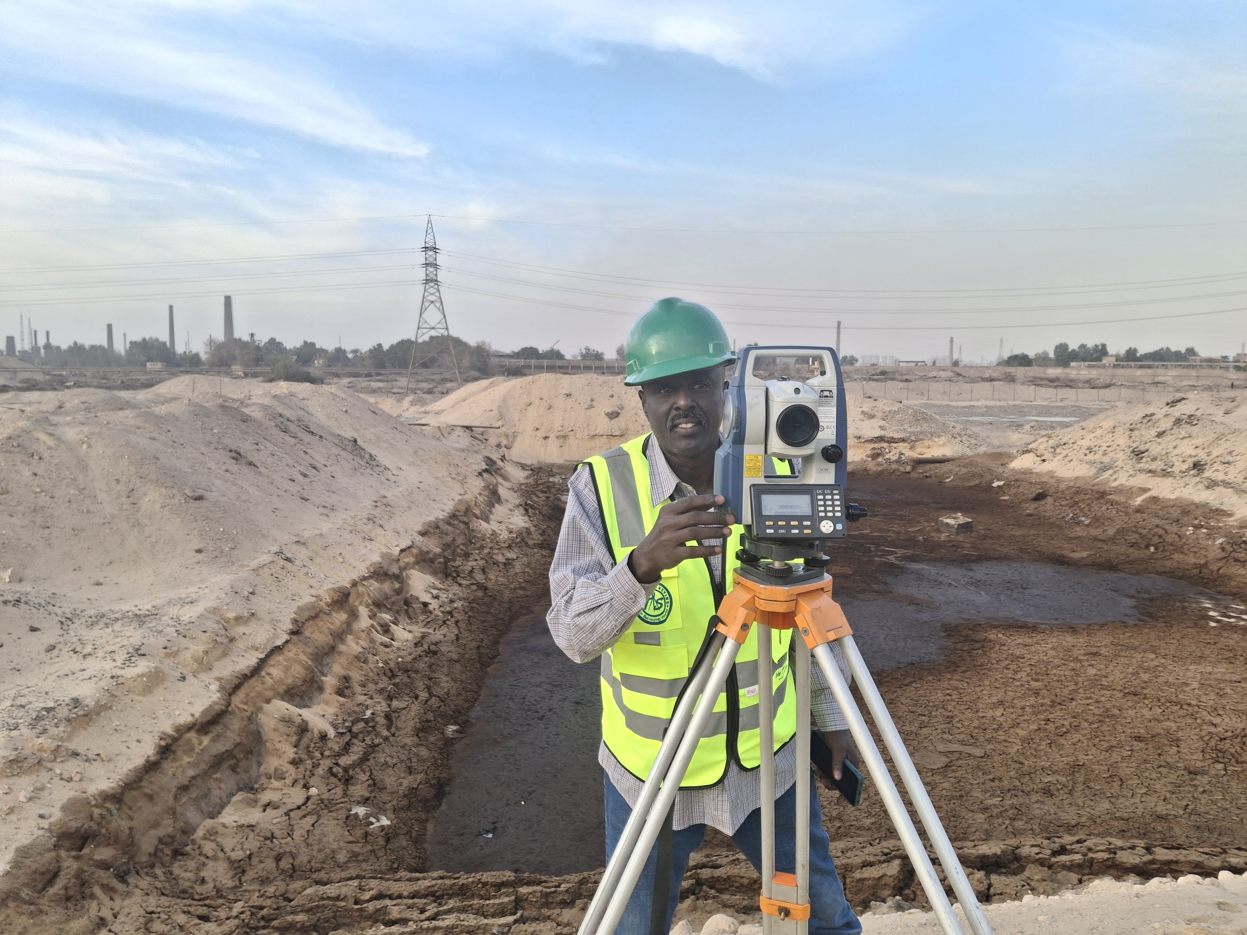
Precise measurement of points, elevations, and site details, particularly suitable for detailed surveys and controlled measurement requirements.
GPS / GNSS / RTK
Efficient collection of coordinates and elevations with connection to the approved coordinate system, especially suitable for open sites and large areas.
Other Surveying Technologies
Additional surveying instruments and techniques can be selected according to project conditions, required accuracy, coverage, and data density.
✓ Surveying and Quantity Calculation Methodology
Structured steps to ensure reliable field data and accurate earthwork quantity results
01 Site Study and Project Requirements
02 Selection of Surveying Technology
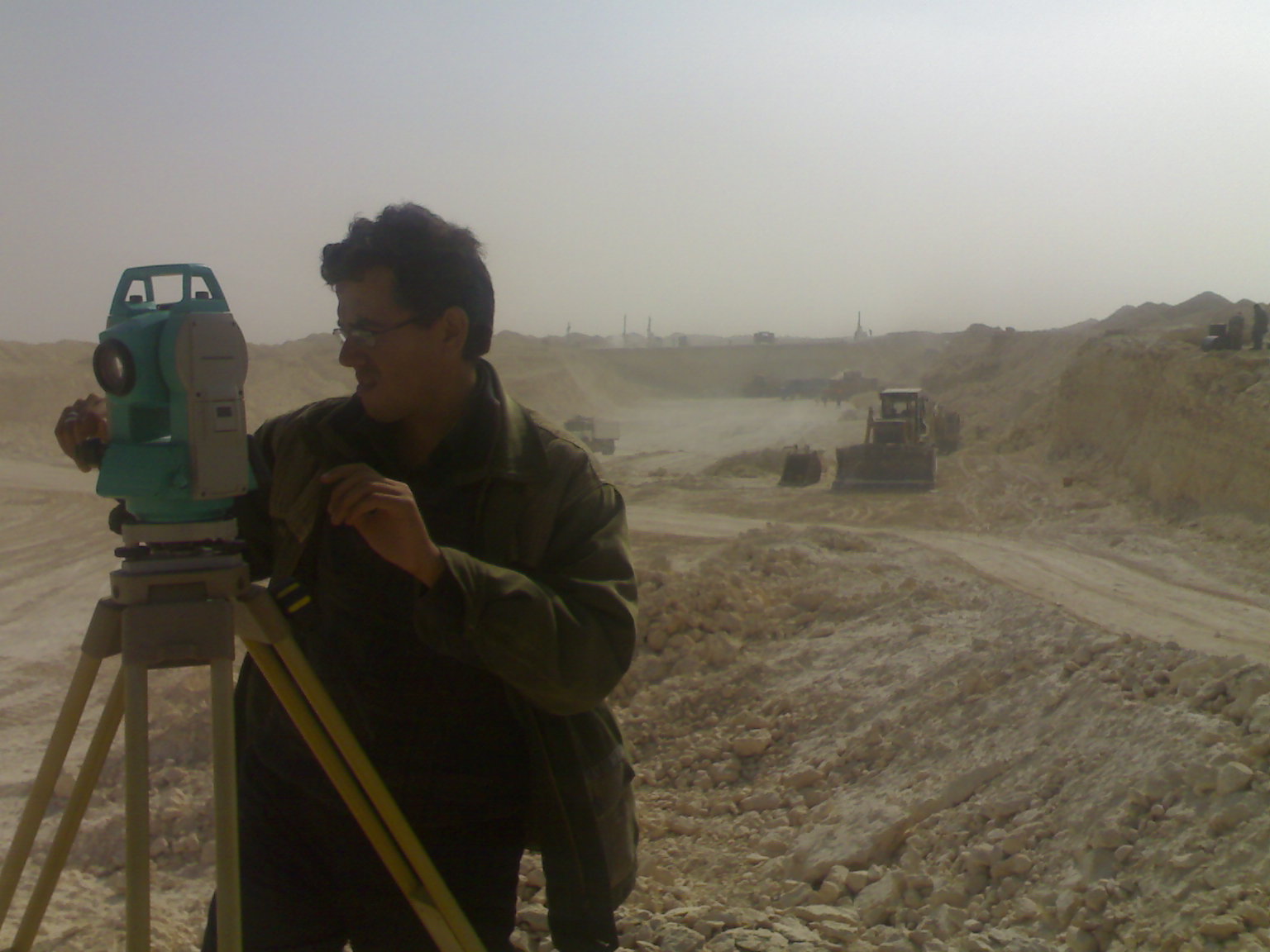
03 Field Survey and Data Collection
04 Data Processing and Surface Generation
05 Quantity Calculation and Reporting
▦ Applications
Earthwork measurement and quantity calculation for a wide range of engineering projects
▰ Building and Site Works
╱ Roads and Transportation Corridors
⌁ Infrastructure Projects
〽 Grading and Earthwork
⌘ Large Development Projects
⚙ Industrial Projects
▤ Deliverables
Organized surveying and quantity results prepared according to project requirements
Cut and Fill Quantities
Quantity Tables
Point and Elevation Data
Surfaces, Maps and Engineering Data
✓ Accurate Quantity Calculation Starts with the Right Surveying Technology
Earthwork quantity calculation does not depend on a single instrument or fixed measurement method. The appropriate technology is selected according to the size and nature of the site, terrain characteristics, required level of detail, and required accuracy.
Laser Scanners can provide high-density point data, Total Stations can provide precise detailed measurements, and GPS / GNSS / RTK systems can efficiently cover large open areas. Where required, multiple surveying technologies can be combined to achieve a reliable representation of the existing site and dependable earthwork quantity results.
Need Earthwork Quantity Calculation for Your Project?
Total Surveying Office can review the project requirements and site conditions, determine the appropriate surveying technology and measurement method, and carry out the required survey, data processing, cut and fill calculation, and quantity reporting.
Need this service?
Request a free, no-obligation quote and our team will get back to you shortly.
Request a Quote